Antique Maps of Bosnia Hercegovina

A selection of our historical maps of Bosnia-Hercegovina. Please contact us if you are looking for a particular town or city on these maps or a special map for your collection.

Ordering and Payment

Lieferbedingungen

Sale! Discount!

30% Discount on All maps with a BOSNIA number on this page!

Take 30% off the listed price. !


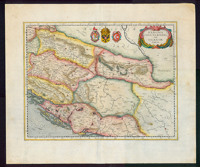
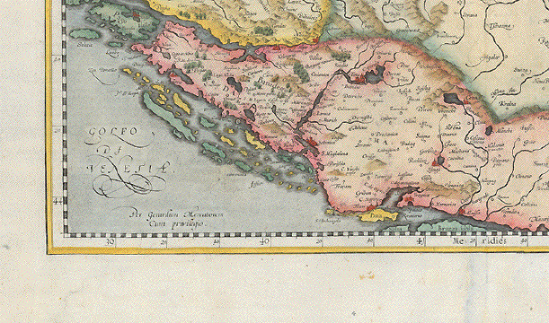
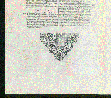
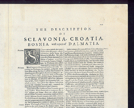
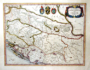
"Sclavonia, Croatia, Bosnia cum Dalmatiae parte"

Hand-colored copper etching by Gerard Mercator.

Published in the atlas by Henricus Hondius, Janssonius

Amsterdam, 1645

Map shows Mediterranian coast line from the island of Rab (Arbe) to the island of Brac (Brazza). In the north the run of the river Drau from Ptuj (Pettau) in Slowenia towhee it joins the Danube at Belgrade. So this map comprises parts of Slowenia, Croatia, Serbia and Bosnia

Tiny repaired tear on lower margin edge. a few hardly visible. creases.
Small repairs on upper mrgin edge.

Wide margins. Very pleasant hand-coloring, Good condition.

46 x 37 cm (ca. 18 x 14.5")

$ 580.00

Order Nr.BALKAN246031


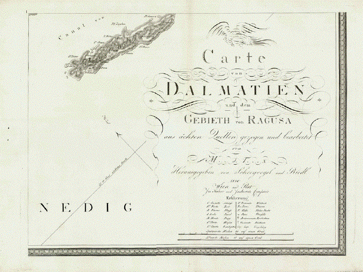
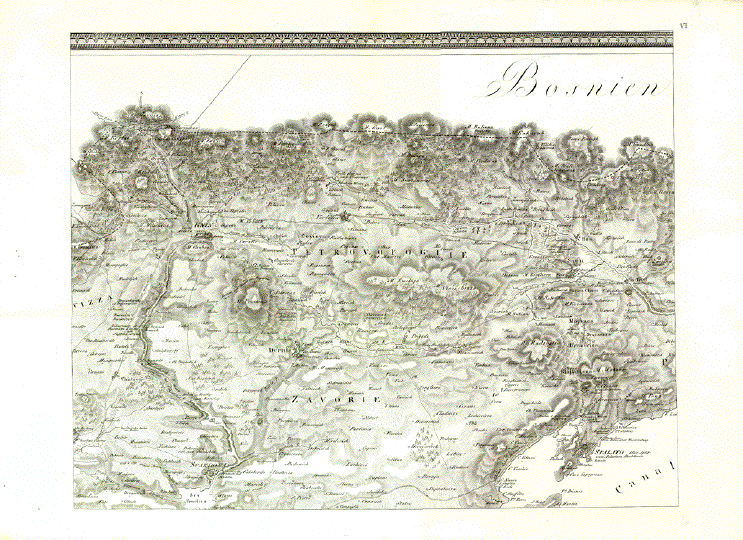
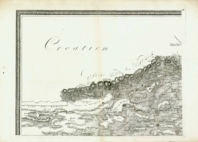
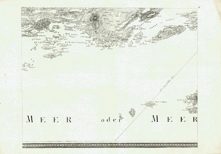
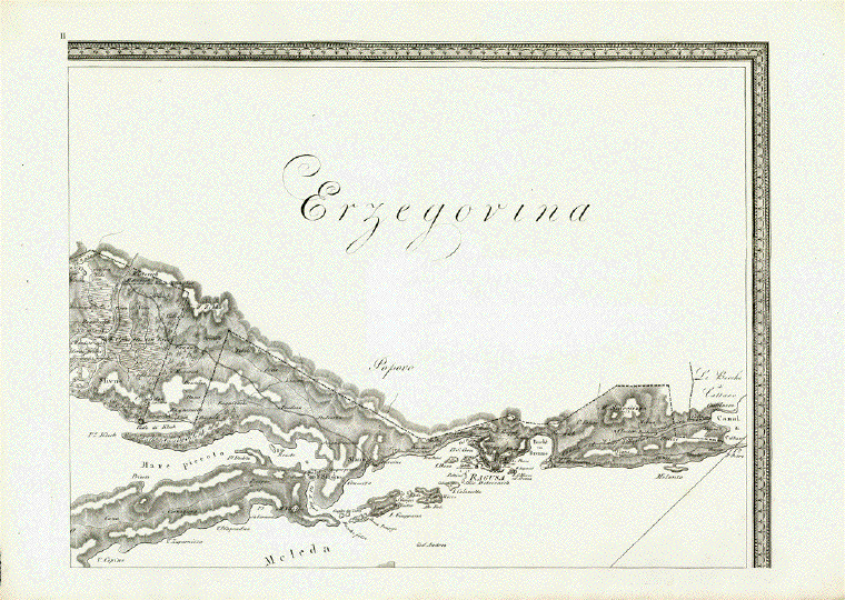
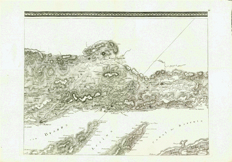
"Carte von Dalmatien und dem Gebieth von Ragusa aus ächten Quellen gezogen und bearbeitet von É"

Herausgegeben von Joseph Schrevogel und Joseph Riedl 1810 Wien und Pest"

This oversize wall map measures (when the eight individual sheets are assembled) 85,5 x 225 cm (ca. 33.7 x 88.6")

Map is surrounded by an ornamental bordure.

Fragment:

To pour, right away, water into the wine: We have only six of the eight sheets.

Sheets Nr. 3 and Nr. 7 are missing. We have waited while trying several years hoping to complete the map. But we were unsuccessful. We are sure that there must be colleagues or private persons who happen to have just these missing links, who would be willing to offer us sheets 3 and 7.

The numbering of sheets are peculiar on this map: Normally sheet 1 to 4 would form the upper row from left to right and sheets 5 to 8 would be placed in the lower row.

Here sheet 1 is placed in the lower right with title and print details. Above sheet 1 is sheet 2. Sheet 3 (here missing), is in the lower row next to sheet 1. Above it is sheet 4. Then sheet 5, and above it sheet 6. Then sheet 7 (here missing), and above it in the upper left corner sheet 8. All sheets bear Roman numbers.

The map was cartographed, and the geographical names of places, islands, mountains, etc. this entire part of Dalmatia was part of the Habsburg Empire. The Italians were heirs to the long lasting Venetian rule in the area. The elites in Dalmatia spoke Italian and felt Italian, although the Italian population amounted to less than 3%. All this explains why this map was created in Vienna and why the place names on it are in the Italian and in the German languages.

There is another specialty with regard to this map: It shows the boundaries of the "Stato di Ragusa" or the Republic of Ragusa (Dubrovnik). When this map was published in 1810 the Republic of Ragusa had actually vanished from existence. It actually ended officially in 1808, when Napoleon and his troops dissolved the city state - after more than 500 years from 1358-1808! Ragusa (Dubrovnik) was a Mediterranean Trade Capital, proud, successful and wealthy, flourished especially in the 15th and 16th centuries.

There are only few maps and hardly any as pricise and well cartographed of the Republic of Ragusa as this one.

All maps have a vertical centerfold with very light toning along centerfold.
The outer edges of the maps have a natural uneveness of handmade paper.
Some spotting and smudges in the margins. Heavy paper.

Measurement of the entire map (including the missing sheets):

85,5 x 225 cm (ca. 33.7 x 88.5")

The individual sheets measure (margins not included): Ca. 43 x 55 cm (ca. 16.9 x 21.6")

Price for the six maps $ 1800.00

Order Nr. CROATIA254091 RESERVED


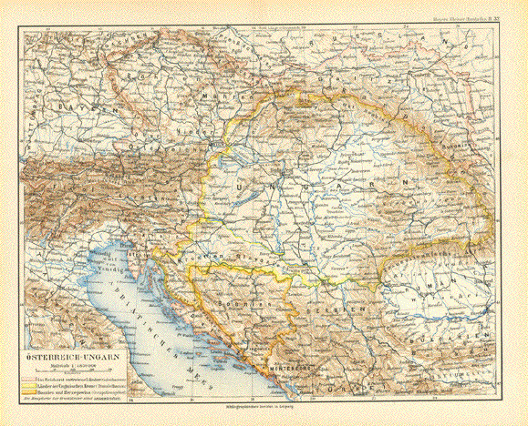
"Oesterreich-Ungarn"

Map published 1892 in Leipzig. Map extends as far south as Montenegro and Turkey.
In the north is Chemnitz and Prag. In the east is Bukowina. In the west is a bit of Switzerland.
Light natural age toning in margins. Vertical centerfold.

Image: 21 x 27 cm ( 8.2 x 10.6")

$ 40.00 minus 30% Discount = $ 28.00

Order Nr. HUNGARYMAP256457


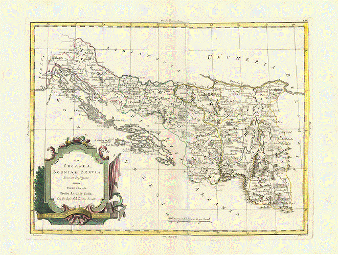
ãLa Croazia, Bosnia, E Servia Di nuova Projezione"

Shows the Dalmatian coast from Istria to Dubrovnic, then away from the coast to Dmitrovgrad (Zaribrod) in Serbia

Copper etching by Antonio Zatta. Original hand coloring

Venise (Venezia, Venedig). Dated 1781

Condition: Very good. Wide margins

31 x 40,5 cm (ca. 12,.2 x 16")

$ 220.00

Order Nr. CROATIA238310


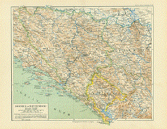
"Bosnien und Montenegro" Anonymous lithograph. Printed in color. From a German atlas. Leipzig, 1892

Map shows Croatian's Dalmatian coast line, Herzegowina, Bosnia, Montenegro parts of Serbia, parts of Kosovo shortly before the turn to the 20th century. The place names in Dalmatia are still Italian. Drawn-in borderlines do not correspond with today's borders in all cases.

Pleasant light age toning. Vertical centerfold.Very good condition.

21 x 26.5 cm (8.3 x 10.4")

$ 90.00

Order Nr. BOSNIA04041


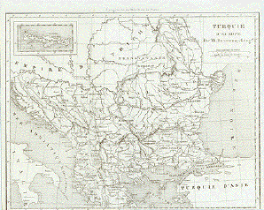
"Turquie d Europe" Steel engraving by Th. Duvotenay, 1840.

Map shows Bosnia, Walachia, Albania, Transyvania (Romania) and Bulgaria as it was then part of turkey. Part of Turkey is shown in lower right corner. In the upper left is an inset showing the island of Creta.

Clean map.Right margin narrow. Lower margin line missing. Vertical folds to fit book size.

17.5 x 22.8 cm ( 6.8 ")

$ 90.00

Order Nr. ASIAMINOR18483


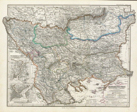
" Die Europaeische Tuerkei" Steel engraving after H. Habenicht for Stieler dated 1870. Original outline coloring.

In the north is a part of Slovenia and Romania (Siebenburgen). In the upper right corner is Moldavia. Further south is Bosnia, Serbia and southern Romania. In the central part is Montenegro colored pink on the left and Bulgaria on the right. Part of the black Sea is n the right edge of the map. In the lower center is Macedonia. On the lower left are two insets. The upper one shows the Maramara Sea, Bosporus and a bit of the Black Sea. The lower inset is a very detailed plan of the Bosporus.

Map has a small repair on centerfold in lower margin.

33.5 x 43 cm ( 13.1 x 16.9 ")

$ 185.00

Order Nr. BULGARIAMAP235800


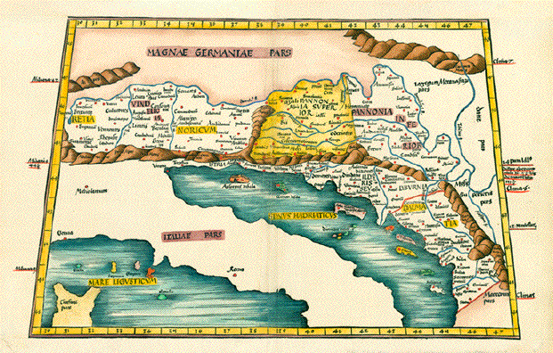
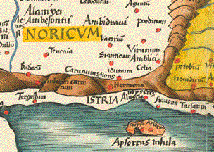
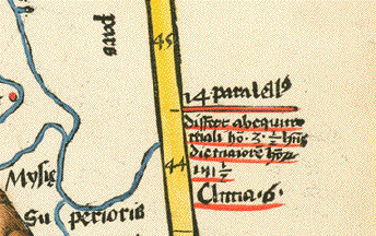
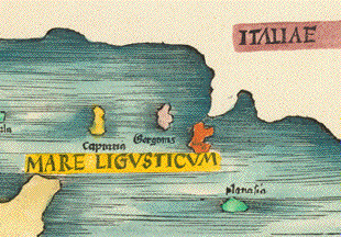
No title. Retia, Vindelicia, Noricum, Istria, Pannonia Superior, Pannonia Inferior, Illyriseu, Lyburnia, Dalmatia.

Wood cut by Martin Waldseemueller after Claudio Ptolemy. : From ãClaudio Ptolemei...Geographiae opus novissima...MDXIII". Strasbourg, 1513. Very nice recent hand coloring.

This very early map in trapeze form shows the ancient regions named above. It reaches from Bregenz in Western Austria to the Macedonian border. Showing Svebia, Bavaria, Austria, Slowakia, Slowenia, Croatia, Bosnia, Herzegowina, Hungary and parts of Romania south to the Macedonian and Albanian border.

Map has pleasant light age toninhg. Uper and lower margins have been added. Some traces of age and use of minor importance.

Trapeze: 33.3 x 43.5 to 50.5 cm (13.1 x 17.1 to 19.9"). Page size 37 x 58.8 cm (14.6 x 23.1")

$ 3200.00

Order Nr. BALKAN MAP 1044RESERVED


The spots on the reverse side are from the green coloring. This is a sign of original hand coloring.
The green color had special oxides that show on the reverse side.

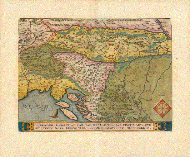
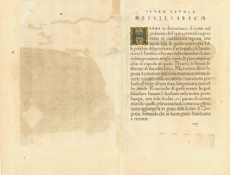
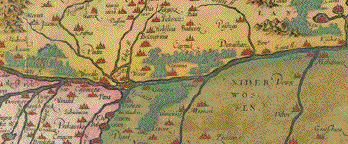
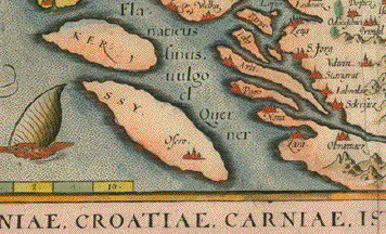
"Schlavoniae, Croatiae, Carniae, Istriae, Bosniae, Finitimarumque Regionum Nova Descriptio Auctore Augustino Hirsvogelio"Copper engraving by August Hirschvogel for Abraham Ortelius ca 1600. Original hand coloring.

Flowing horizontally through the center of the map is the Sava River. IN the upper right is a small part of the Danube River at the confluence with the Drava River.In the upper left is part of Carinthia in Austria. Villach is on the left edge of the map. The map reaches as far south as Nin and Zadar on the Adriatic coast. On half of the backside is a bit of information (in Italian) about the map.

Minimal light creasing along centerfold. A few spots in margins. Repair in upper margin on centerfold.

33.5 x 45 cm (13.1 x 17.7 ")

$ 720.00

Order Nr. SOLVENIAMAP2417


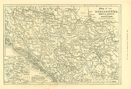
"Map of the Herzegovina Bosnia, Servia and Montenegro". Wood engraving by E.G. Ravenstein from "The Illustrated London News" dated 1876.

Sarajevo is in the center of this very detailed map. In the upper right is part of the course of the Danube River with Belgrad. In the lower left is an inset showing parts of the regions of Rudine, Montenegro and Gatzko.

Map has a few very light spots in lower area. Reverse side is printed with text including an article titled "The War in Herzegovina".

22.5 x 32.5 cm ( 8.8 x 12.7 ")

$ 55.00

Order Nr. BOSNIAHERCEGOVINA0403


"Tavola Nvova de Schiavonia"

Copper etching from: "Geographia" by Claudio Ptolemy. Originally edited and published by Willibald Pirckheimer.
This edition, which comprises all 64 maps of the "B" edition, including the "New World", was published by Josephus
Meletius 1562 in Venice.

This very early maps shows Slovenia with Lubjana in the upper left corner and continues to Belgrade in the upper right corner. The many islands
are shown along the Adriatic coast which reaches as far south as southern Albania. Basically the map includes the Balkan countries of Slovenia, Bosnia-Herzegovina, Croatia, Serbia, and most of Albania. Italy is shown with a few major cities as points of orientation. Notice the coat-of-arms in the lower
left corner. Text on one side of backside in Italian about the area shown on map.

Map has light browning along centerfold. Small worhole repair on centerfold. Upper right margin area has some brown spots. Light offsetting. Overall
condition is otherwise Almost Very Good.

17.5 x 24.2 cm ( 6.8 x 9.5 ")

$ 420.00

Order Nr. SLOVENIA2411


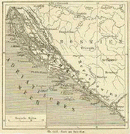
"Karte von Dalmatien". Wood engraving from "Orbis Pictus" by Otto spamer, 1874.

Map shows the coastal area of Dalmatia with Bosnia Hercegovina to the east. In the upper right corner is a tiny bit of the danube river. The coast reaches as far north as Fiume and as far south as Cattaro and Budne.

Map has narrow margins and print on backside.

10.8 x 10.8 cm ( 4.2 x 4.2 ")

$ 35.00

Order Nr. BOSNIA0401


"Sclavonia, Croatia, Bosnia cum Dalmatiae Parte ". Copper engraving by Gerard Mercator (1512-1594) in original coloring. Duiburg, ca. 1600.

The western part of the Balkan is the area of focus on this map. In the lower left corner is the upper part of The Adriatic Sea with its many islands. The rivers Drau and Sava flow from west to east into the Danube river. To the far right is the city of Belgrade. Verso: Text in Spanish.

General browning, centerfold in lower margin is repaired, the edges on the wide margins are faulty, a small piece from the upper margin is missing. A crease goes from the lower right margin into the image. Condition: Good.

35.5 x 46 cm ( 14 x 18.1 ")

Order Nr. SLOVENIA1081SOLD


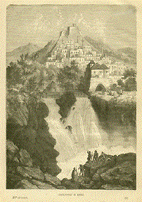
Chateau-Fort En Bosnie

Wood engraving ca 1885. Backside is printed.

23.5 x 16.5 cm ( 9.2 x 6.5 ")

$ 40.00

Order Nr. BOSNIA0402


Antique Prints of Bosnia Hercegovina

Maps of the World

Ordering and Payment

E-mail

Terms of Sale - Lieferbedingungen

Return to home Page

Impressum

Datenschutz

© Rainer Rauhut