ANTIQUE MAPS OF THE HOLY LAND

View a selection of our historical maps of the Holy Land. If you are looking for a particular map please contact us.

Ordering and Payment

Sale! Discount!

30% Discount on All maps with a HOLYLAND number on this page!

Take 30% off the listed price. !

We accept reasonable offers.

Visit us at the following sites:

https://lovelyantiqueprints.com

twitter.com/philographikon2

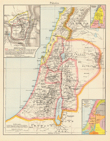
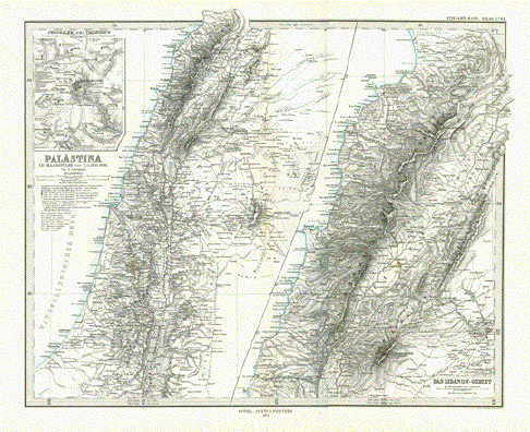
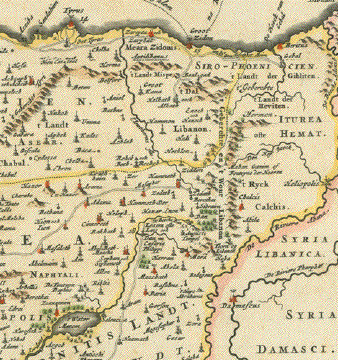
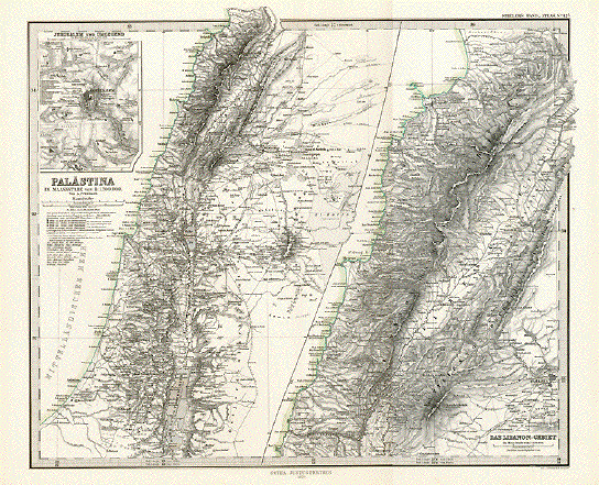
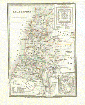
"Palaestina" Inset: "Jerusalem and surrounding" and "Das Libanon-Gebiet"

Two detailed steel engraving maps of Palestine / Israel and a very detailed of Lebanon. Map shows also Jerusalem and surrounding as a plan.

Engraved after the drawing by August Heinrich Petermann (1822-1878)

Published in Gotha, dated 1874

Minor traces of age and use. Basically very good condition.

Measurements all over page size without margins: 34 x 41,5 cm (ca. 13.4 x 16.3")

$ 80.00

Order Nr. HOLYLAND248071


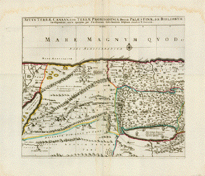
"Situs Terrae Canaan, sive Terrae Promissionis, hodie Palestinae, ss. Bibliorum intelligentiam exacte aperiens, per Christianum Adrichomium Delphum."

Map of Canaan , the Biblical Promised Land.

Copper etching by Christian Adrichomium. Original borderline hand coloring.

Published in ãGalilee antiquae descriptio geographica". By Nicolas Sansson (1600-1667).Paris, 1627

Map is historically interesting with regard to the Exodus to the Promised Land Canaan. The camp is shown near Mount Sinai and the paths the Israelites took after leaving Egypt. All biblical places of that time are shown here.

Map has wide margins. Some water stains in margins, a restored centerfold and hardly visible pleatS

39.3 x 46 cm (15.5 x 18")

$ 400.00

Order Nr. HOLYLAND236005


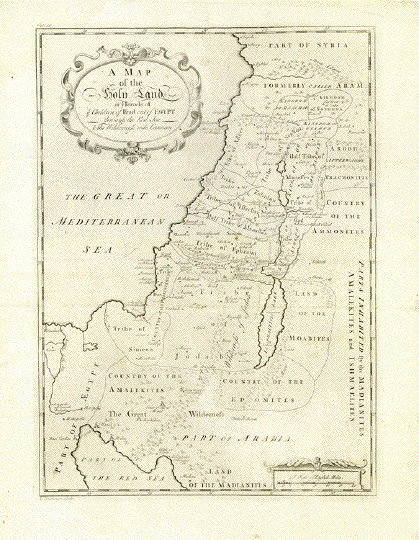
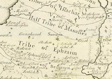
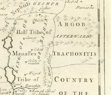
"A Map of the Holy Land or Travels of ye children of Isreal out of Egypt through
the Red Sea & the Wildness into Canaan"

Copper engraving map by Thomas Hutchinsen ca 1733
from "The Works of Flavius Josephus......"

This uncommon map shows the encampments of the Children of Isreal
and the divisions of the various tribes. The Dead Sea is titled "Asphalttis Lake"
with the names Sodom and Gomorra written in the lake.

The map has fold to fit original book size. A few light parallel creases
and original printer's creases. One tiny repair on right margin edge.
Minor sgns of age and use.

Map image: 43 x 31 cm (17 x 12.2")

$ 280.00

Order Nr. HOLYLAND236007


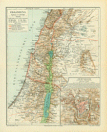
"Palaestina". Wood engraving printed in color from the Bibliographisches Institute in Leipzig, ca 1885.

The map extends from Beirut in the north to ChanJunis and Gaza in the south. In the east is Karjet el Adschelat and Der el Kunn. Old Roman roads, pilgrim roads to Mecca and normal roads are shown. In the lower right corner is a very detailed plan of Jerusalem and surrounding area.

Map has horizontal centerfold. Tiny crease in lowe right margin corner.

25.7 x 20.2 cm ( 10.1 x 7.9 ")

$ 45.00

Order Nr. HOLYLAND1919


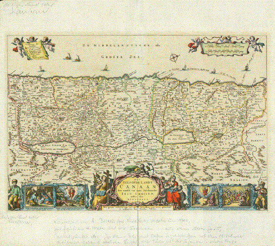
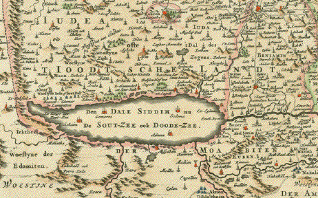
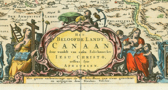
"Het Beloofde Landt Canaan door wandelt van onsen Salichmaecker Iesu Christo neffens syne Apostelen"

(The Promised Land Canaan in which our Savior Jesus Christ lived with his apostles). Rare map of the Holy Land totally devoted to the life of Jesus Christ and Christianity.

Map of Palestine or Israel with reference to the life of Jesus Christ and to Christianity.

Hand-colored copper engraving by A. Broeck. Published by Nicolaus Visscher.

Amsterdam, ca. 1700

This decorative west-oriented map shows Palestine or nowadays Israel and Lebanon, and parts of Syria to the river Barada (Biblical: Abana), as far south as Rhinocorura in Egypt. Prominent and shown in detail: The Gaza strip along the Mediterranean. In the Center on this map we see the river Jordan, the Sea of Galelee and the Dead Sea as well as the eastern side of the Jordan valley well into Jordan and Syria.

Map has decorative title cartouche and four biblical scenes. From left: Birth of Jesus, resurrect of Jesus Christ, ascension of Christ and Holy Spirit and the Apostles. Flanking the title: Mother Mary nursing Jesus and Mother Mary in sorrow. Left and right fisher men referring to Jesus the fisher. In the Mediterranean Sea two legend cartouches held by putti. Sail ships and a wind rose pointing north.

Reverse side has geographical description of the "Jewish Lands" in the Dutch language.

Very pretty hand coloring. Wide margins above and below with pencil remarks about map by former owner (These do not disturb in case of framing map). Some minor traces of age and use in margins. Other than the mentioned pencil remarks in margins the condition of this map is very good.

31,7 x 47,7 cm (ca. 12.5 x 18.8")

$ 1250.00

Order Nr. HOLYLAND252168


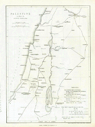
"Palastine according to the Ancient Intineraries"

Steel engraving by W. Hughes and Aldine Chambers. Published in London 1854.

This map shows some of the ancient roads that were mentioned in very old
sources listed in the lower right.

Map is in very good condition.

Map image: 24 x 17.5 cm (9.4 x 6.8")

$ 70.00

Order Nr. HOLYLANDMAP253228


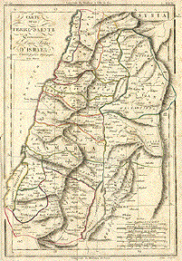
"Carte de la Terre-Sainte Coutenam les Douze Tribus D'Isreal". Copper etching by Semen for Rigobert Bonne
( 1729-1795). Published ca 1780. Older outline coloring.

Like many of the Holy Land maps, this map also shows not only the important settlements, but also the regions of the Twelve Tribes of Isreal. The Mediterranean coast reaches from Gaza in the south to Sidon in the north. Notice that the map spills over
into the margins in several places.

Map has overall scattered spotting, especially along margin edges. Left margin has been widenened and a small piece of lower
left margin corner has been replaced. General condition is just Good.

32.2 x 23 cm ( 12.6 x 9")

$ 95.00

Order Nr. HOLYLAND1911


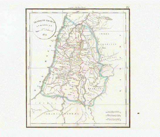
"Duodecim Tribus Israelis"

The twelve Tribes of Israel

Copper etching. Published in the atlas by Charles Francois Delamarche (1740-1811)

Delamarche bought the rights to use the copper plates by Didier Robert de Vaugondy in 1786

Paris, 1829 (posthmous edition)

The green outline hand-coloring was originally applied.

Centerfold has some repairs. Clean map with rendition of the settlement of the 12 tribes of Israel after their expulsion from Egypt.

Map Image: 28 x 24,8 cm (ca. 11 x 9.8")

$95.00

Order Nr. HOLYLAND251975


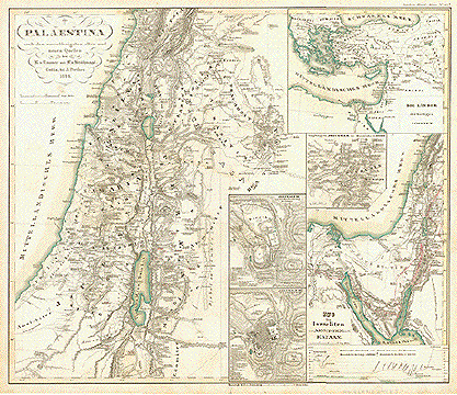
"Palestina nach dem zuzverlaessigsten alten und neuen Quellen"

Several maps of Palestine by K. von Raumer and F. von Stuelpnagel published 1844 in Gotha.

Original hand outline coloring.

In the lower center are two maps of ancient Jerusalem. In the upper right are the Biblical countries.
The map in the lower right shows the fleeing of the Isrealites from Egypt to Canaan.
The small map in the middle right shows Jerusalem and surrounding area.

Map has a few light spots and minor signs of age and use. Vertical centerfold.

34 x 39.5 cm ( 13.3 x 15.5 ")

$ 150.00

Order Nr. HOLYLANDMAP249815


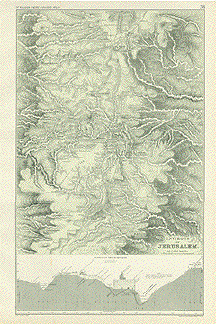
"Environs of Jerusalem". By Trel. Saunders for "Dr. William Smith's Ancient Atlas", ca 1870. Original hand coloring.

Very detailed map of Jerusalem and the surrounding area. Jeruslem is near the center of the map which reaches as far north as Gophna and Ephraim. The map extends as far south as Tekoa and Beth Zacharias. At the bottom is a topographical section of Jerusalem extending from the Lower Pool of Gihon on the left to the Mount of Olives on the right. The temple is shown near the center.

A light spot in the lower area. Light crease in left margin.

43.5 x 27 cm ( 17 x 10.6 "

$ 125.00

Order Nr. HOLYLAND1922

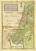
"A Map of the Journeyins of the Isrealites mentioned in ye Mosaick History. And of ye Land of Canaan showing ye Divisions of ye Twelve Tribes of Isreal....". Copper etching by Hermann Moll, 1749. Modern hand coloring.

It is very easy to see the geographical region of this map. The locations of the Tribes of Isreal are shown as well as important towns of the period. An interesting historical map with fine details.

The etching has overall light toning and a hardly visible horizontal centerfold to fit atlas. Light browning of margin edges and a bit of fraying on lower margin edge. General condition is Almost Very Good.

22.6 x 15.3 cm (8.9 x 6 ")

Order Nr. HOLYLAND 1907SOLD

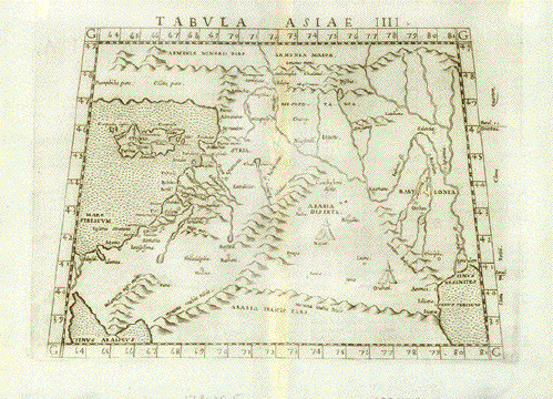
"Tabula Asiae IIII". Copper etching from: "Geographia" by Claudio Ptolemy. Originally edited and published by Willibald Pirckheimer. This edition, which comprises all 64 maps of the "B" edition, including the "New World", was published by Josephus Meletius 1562 in Venice.

Syria, the Holy Land, Iraq, part of Iran, the northern part of Saudi Arabia, southern Turkey and Armenia are featured on this map. In the lower right is the moth of the Euphrates river in the Persian Gulf. In the lower left is the northern part of the Red Sea. Cyprus is to the West of Syria with its ancient names.Verso: Text in Italian and distances between the major points on this map.

Repaired worm tracks along center fold. Light browning along centerfold. Map is otherwise in Very Good condition.

17.8 x 25.5 cm ( 7 x 10 ")

$ 520.00

Order Nr. NEAREASTMAP1801


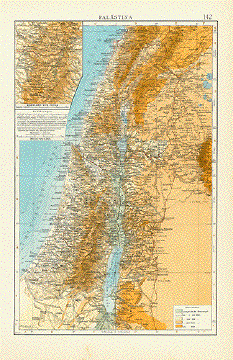
Palaestina

Chromolithograph dated July, 1911.

Very detailed map of Palestine at the time. In the upper left is a special detail of the Highland of Judea.
Map shows the main roads and railroad lines of the times. In the lower right is a key to the altitude.

Map is in very good condition.

36.2 x 23 cm ( 14.2 x 9 ")

$ 45.00

Order Nr. HOLYLAND235986


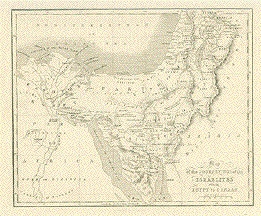
"Map of the Journeyings of the Isrealites from Eygpt to Canaan". Lithographed map published by A. Fullarton in London ca 1850.

Interesting historical map with lines showing the various paths of the Isrealites journey.

Map has small creases in upper right and lower left margin corners. Small repaired tear on left margin edge.

20 x 24.8 cm ( 7.8 x 9.7 ")

$ 75.00

Order Nr. JUDAICA1367


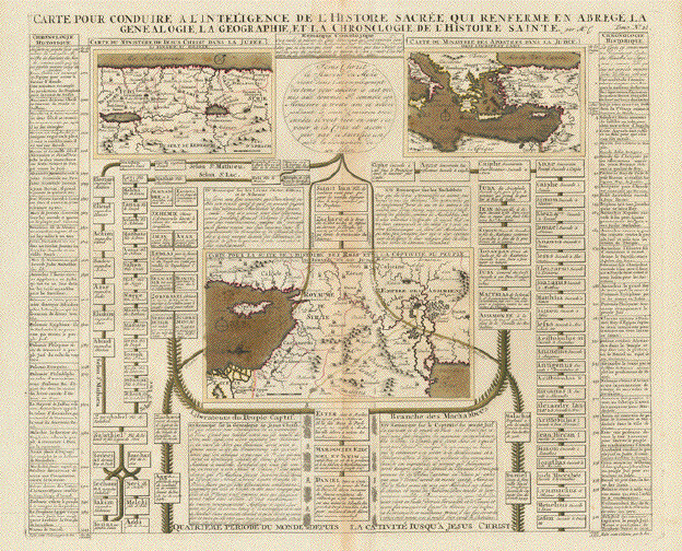
"Carte pour conduire à l'Intelligence de l'Histoire Sacree, qui renferme en abrege la Genealogie, la Geographie de l'Histoire Sainte"

Map in center: "Carte pour la suite de l'Histoire des Rois et de la captivité du Peuple d'Israel et de Juda"

General title at bottom: "Quatrieme period du monde depuis la captivité jusqu'a Jesus Christ"

Left side: Liberateurs du Peuple captif

Right side: Branche des Macchabbees

Copper etching. Original hand coloring. Published by Henri Abraham Chatelain in his "Atlas HistoriqueÉ". Amsterdam, 1705-1720

Light general age toning. Light browning along centerfold. Good condition.

Full page size: 40 x 47 cm (ca. 15.7 x 18.5")

$ 280.00

Order Nr. HOLYLAND247973


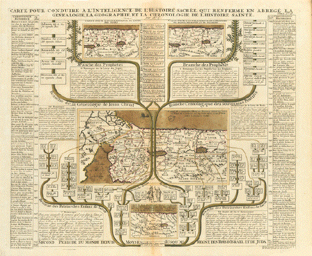
"Carte pour conduire à l'Intelligence de l'Histoire Sacree, qui renferme en abrege la Genealogie, la Geographie de l'Histoire Sainte"

Title at bottom of page: "Second period du Monde depuis Moyse jusqu'au Reigne des Rois d'Israel et de Juda"

Left side: Branche des Patriaches Enfans de Jacob - Branche de la Genealogie de Iesus Christ - Branche des Prophetes

Right side: Branche des Patriarches Enfans de Jacob - Branche Cronologique des souverains Pontifes - Branche des Prophetes

Four maps of Israel at various époques

Copper etching. Original hand coloring. Published by Henri Abraham Chatelain in his "Atlas HistoriqueÉ". Amsterdam, 1705-1720

Light general age toning. Light browning along centerfold. Good condition.

Full page size: 40 x 47 cm (ca. 15.7 x 18.5")

$ 280.00

Order Nr. HOLYLAND247974


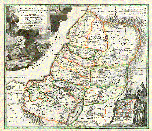
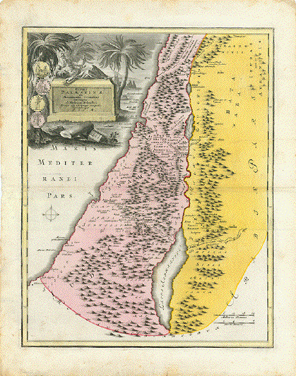
"Iudaea seu Palestina ob sacratissima Redemtoris vestigia hodie dicta Terra Sancta prout olim in duodecim Tribus divisa separatis ab invicem Regnis Iuda et Israel expressi insuper VI ultimi temporis ejusdem Terrae Provinciis..."

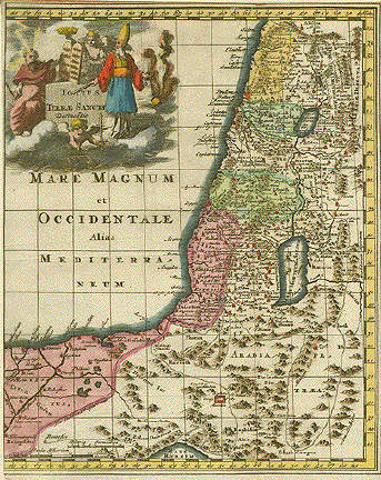
Palestine or Israel , divided in the 12 territories of tribes of Israel. The baroque cartouche shows Mose receiving the Ten Commandments. Lower right inset: Mose and the High Priest pointing at map showing the paths the Children of Israel took after leavin Egypt.

Above the little inset the two slaves carrying the heavy weight of the cluser of grapes.

Copper etching. Published by Johann Baptist Homann. Nuremberg, 1723.

One repaired tear. Otherwise map is in very good condition. Vertical centerfold.

Order Nr. HOLYLAND236006 SOLD


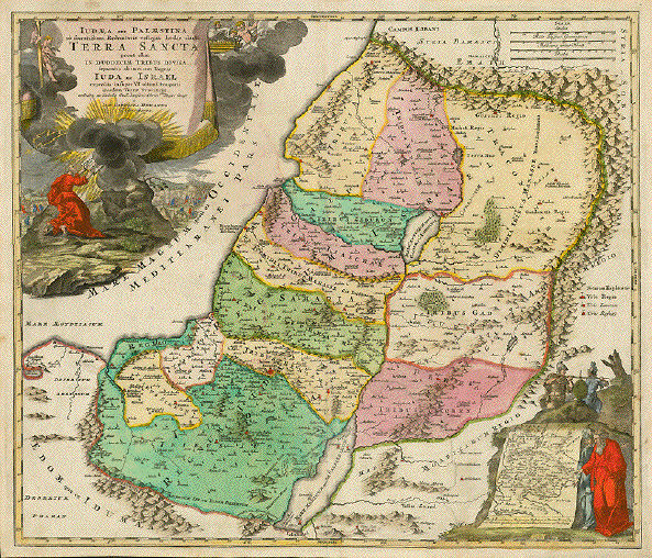
ãIudaea seu Palestina ob sacratissima Redemtoris vestigia hodie dicta Terra Sancta prout olim in duodecim Tribus divisa separatis ab invicem Regnis Iuda et Israel expressi insuper VI ultimi temporis ejusdem Terrae Provinciis..."

Palestine or Israel , divided in the 12 territories of tribes of Israel. The baroque cartouche shows Mose receiving the Ten Commandments. Lower right inset: Mose and the High Priest pointing at map showing the paths the Children of Israel took after leavin Egypt.

Above the little inset the two slaves carrying the heavy weight of the cluser of grapes.

Copper etching. Fine original hand-coloring!

Published by Johann Baptist Homann. Nuremberg, 1723.

One repaired tear. Minor spotting and signs of age and use. Crease in lower left area. Strong paper.

Order Nr. HOLYLAND 236074SOLD


" Palaestina" " Das Libanon Gebiet " Steel engraving by Eberhardt and Grunnert for Stieler dated 1870. Published in Gotha. Some minimal original hand outline coloring.

Very detailed map divided in two parts. In the upper left corner is a very detailed inset of Jerusalem and surrounding area. The left side coastline reaches from Tripoli ( Tarabulus) in the north to Ghazzch ( Gaza) and Deir Belah in the south. The more detailed right side reaches from Tripoli ( Tarabulus) in the north to Sur ( Tyrus ) in the south. Damascus is in the lower right corner.

Vertical centerfold. Good condition.

34 x 40 cm ( 13.3 x 15.7 ")

Order Nr. HOLYLAND236337SOLD


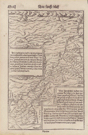
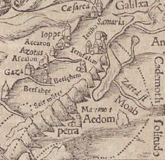
No title. Holy Land - Levant - Lebanon - Coast of Syria - Cyprus

Woodcut.

Published in "Cosmographia" by Sebastian Muenster (1488-1552)

Basel, 1553

Basically of the eastern shores of the Mediterranean. The text insets (German language) are concerned with the river Jordan, Jerusalem

Verso German text about Holy Land.

Map is naturally age toned, but otherwise in very good condition.

26,3 x 16,8 cm (ca. 10.4 x 6.6")

$ 380.00 (Please look for discount at top of this page)

Order Nr. HOLYLANDMAP253295


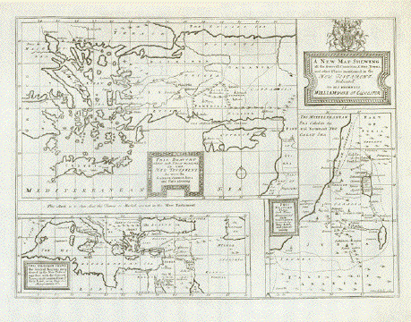
"A New Map Shewing all the several Countries, Cities, Towns and other Places mentioned in the New Testament. Dedicated to His Highness William Duke of Glocester"

Copper etching by Sutton Nicholls (1680-1740). London, ca. 1730.

This sheet, titled as above, has three maps. Here are the titles of these:

1. - "This Draught Shews such Places mentioned in the New Testatment as were In Greece, Cyprus, Asia and Parts adjoining"

Focus is Cyprus, Turkey, Greece (the Aegean part)

2. - "This Draught Shews the severall Regions mentioned in the New Testamt. together with the Cities & Towns most remote from ye holy Land, as in Italy, Mesopotania &c."

Showes the Mediterranean Sea, Black Sea to Caspian Sea

3. - "This Draught Shews Such Places Mentioned in ye New Testament, As were in the Holy Land and parts adjoining"

Obviously published in a book, maybe a Bible. It has a centerfold and two other vertical folds to fit book size.. Watermark: HBS and a Coat of Arms. One Island in the Aegean Sea has handwritten ink name: Eutoa Chalus? Rverse side has ink page number: 35. Map has traces of age and use. Light creasing in margins.

35.5 x 47.5 cm (14 x 18.7")

$ 180.00

Order Nr. HOLYLAND236012


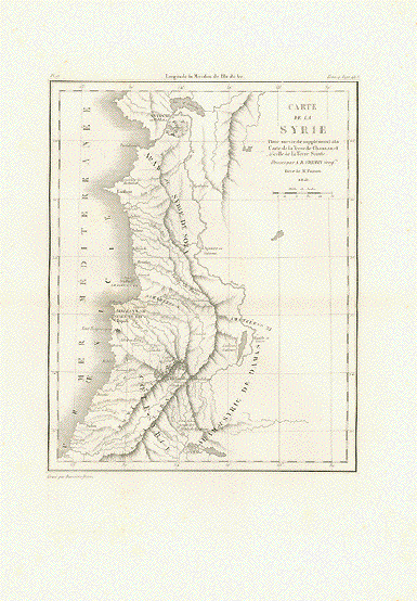
"Carte de la SyrieÉ"

Historic map.

Copper etching by A.R. Fremin

Dated 1821. Published in "Bible de Vence"

By Henri-Francois de Vence (1676-1749)

Edition: Paris, 1827

Minor foxing in margins. Map very good.

Map: 24 x 18,8 cm (ca. 9.4 x 7.4")

Sheet: 40 x 28 cm (ca. 15.7 x 11")

$ 90.00

Order Nr. NEAREASTMAP245849


"Palastina"

Atlas map of the Holy Land published 1896. In the upper left corners is a detailed plan of the area aound
Jerusalem. In the upper right corner is an inset showing the kingdoms of Palastine during the reign
of the Kings. In the lower right is an inset showing the regions of the 12 Tribes.
Map has a horizontal centerfold to fit atlas.

29 x 22.5 cm ( 11.4 x 8.8 ")

$ 30.00

Order Nr. HOLYLANDMAP243976


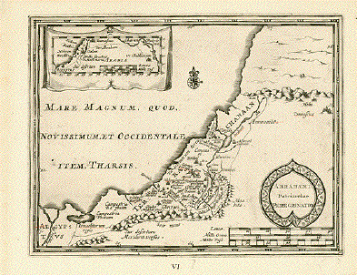
"Abrahami Patriarchae Peregrinatio"

Copper engraving, 1690. Anonymous.

Very interesting map showing the wanderings of Abraham. In the upper left corner is an inset showing Abraham´s wandering from Ur in Chaldea to Canaan and as far south as Egypt. Map has the names of the peoples and tribes of Isrealites.

Map has minor signs of age. The are a few words underlined in fine, red ink. Hardly noticeable.

15.5 x 20 cm ( 6.1 x 7.8 ")

$ 140.00

Order Nr. HOLYLAND237687


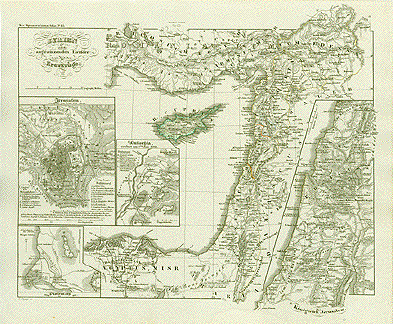
"Syrien und die angrenzenden Laender zur Zeit der Kreuzzüge". Steel etching by C. Poppey. 1846. Some original outline coloring.

Insets: Jerusalem 1099. Antiochia 1098. Ptolemais 1189to 1191. The Kingdom of Jerusalem.

Clean, except for traces of age and use in margins.

Page size: 37 x 43.8 cm (14.6 x 17.2").

$ 180.00

Order Nr. NEAREAST1857


"Map of the Journeyings of the Isrealites from Eygpt to Canaan". Lithographed map published by A. Fullarton in London ca 1850.

Interesting historical map with lines showing the various paths of the Isrealites journey.

Map has small creases in upper right and lower left margin corners. Small repaired tear on left margin edge.

20 x 24.8 cm ( 7.8 x 9.7 ")

$ 95.00

Order Nr. MEDITERRANEAN1367


"Facies Palaestinae ex Monumentis veteribus descripto ab Hadriano RelandoÉ"

Historic map showing what is nowadays Israel (Palestine) including Lebanon, Palestine, Gaza, the West Bank, Jordan, and parts of Syria. There are some coins and medals next to title cartouche.

Type of print. Copper etching

Color: Original hand coloring

Author: Samuel Faber (1657-1716)

Publisher: Christoph Weigel (1654-1725)

Published: Nuremberg, 1720

Edition: Weigel reissued "Atlas ScholastichodoeporicusÉ" which Faber originally published in 1716.

Condition: Beautifully bright original hand coloring. Reenforcement and repairs along centerfold. Wide margins spotty and a bit wrinkly. Traces of age and use. In general: Good.

40 x 32 cm (ca. 15.7 x 12.6")

Order Nr. NEAREASTMAP239219SOLD


"Asia"

Wood engraving printed in color ca 1900. Reverse side is printed with information (in English) about Asia.

This map shows the political divisions of the time using various colors. Red lines show the major railway routes. In the upper left is a special inset showing Palestine. In the lower left is a map of Pennsylvania for size comparison.

Light spot on right margin edge.

22 x 27 cm ( 8.6 x 10.6 ")
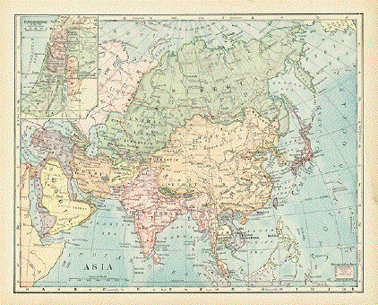
$ 35.00

Order Nr. ASIAMAP239882
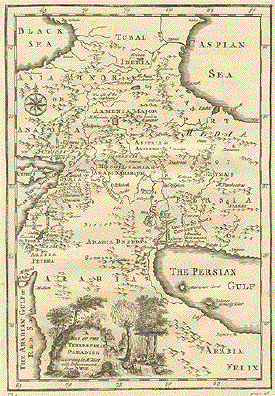

"A Map of the Terrestial Paradise according to M. Huet with improvements from Dr. Wells". Copper etching by Dr. Edward Wells (1667-1732) from "A New Sett of Maps Both Antient and Present Geography", published in 1700.

This interesting map in English reaches from the Caucasus in the north to Arabia in the south. The ancient names show some of the earliest places of civilization in the area.

Light spotting in margins and browning along the edges. In the image is light spotting in the lower left corner. Left margin is narrow. Overall condition is Almost Very Good.

29.7 x 20.7 cm ( 11.7 x 8.1 ")

Order Nr. HOLYLAND 1914 SOLD


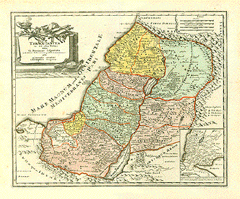
"Terra Sancta in XII olim Tribus nunc VI Provincias dispertita........." Copper engraving by Christoph Weigel ca 1730. Original hand coloring.

Very detailed map showing the regions of the Twelve Tribes of Isreal. In the lower right is an inset showing the area from Jerusalem to Cairo with the Red Sea in the lower right. The very decorative cartouche shows an altar topped with scrolls, a sword, a scale, etc.

Map has a good impression. Vertical centerfold. A few very minor spots in margins. A few very light spots in image.

32.5 x 39.6 cm (12.8 x 15.6 ")

Order Nr. HOLYLAND1923SOLD


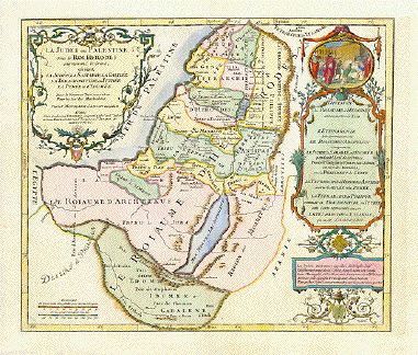
"La Judée ou Palestine, sou le Roi Herodes sur nommé le Grand,...". Copper etching by Pierre Moulard Sanson in outstanding recent coloring. Paris, 1712.

This map shows Israel during the reign of King Herodes. The title cartouche is in the upper left corner. The cartouche on the right side has a genre scene in the medallion. A list of historical events on the right side help to put this map in historical perspective.

Condition: Near Very Good

33.5 x 39.2 cm (13.2 x 15.4 ")

$ 880.00

Order Nr. HOLYLAND 235462


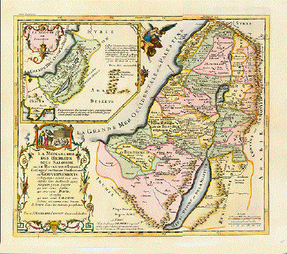
"La Monarchie des Hebreux sous Salomon, ou le Roiaume d'Israel distingué en Douze Prefectures ou Goverments....". Copper etching by Pierre Moulard Sanson in very good recent coloring. Paris, 1712.

This map shows Israel during the reign of King Salomon. The inset in the upper left corner, held by an angel with a cornucopia, shows the position of Salomon's Kingdom in the Near East. A genre scene decorates the title cartouche in the lower left corner.

Condition: Near Very good. Vertical centerfold.

34.9 x 40 cm (13.7 x 15.7 ")

$ 880.00

Order Nr. HOLYLAND235597


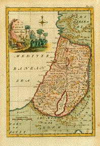
" Map of Canaan Divided among the Twelve Tribes." Copper engraving ca 1750. Anonymous. Hand coloring.

Map shows the regions of the twelve tribes of Canaan (the early name for Palestina). The map extends from the Eygptian desert and Gaza in the south to Laodicea in the north. In the far right green area is the land of the Ishmaelites and Ammonites.

Map has overall age toning. The outer margin edges are browned. Some light spots and image and scattered spotting in margins. Tiny hole in lower right margin corner.

29.5 x 20 cm ( 11.6 x 7.8 ")

Order Nr. HOLYLAND1920SOLD


Maps of the Holy Land

Published in "Bible de Vence"

By Henri-Francois de Vence (1676-1749)

Edition: Paris, 1827

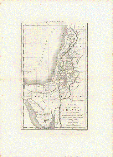
CANAAN

"Carte de la Terre de Canaan ou Terre Promise a Abraham et a sa posterite"

Historic map of Cannan or the Promised Land

Copper etching by A.R. Fremin

Dated 1821. Published in "Bible de Vence"

By Henri-Francois de Vence (1676-1749)

Edition: Paris, 1827

Some foxing in margins. Map very good.

Map: 26,5 x 16,4 cm (ca. 10.4 x 6.5")

Sheet: 40 x 28 cm (ca. 15.7 x 11")

$ 120.00

Order Nr.HOLYLAND245856


Voyage des Israelites.

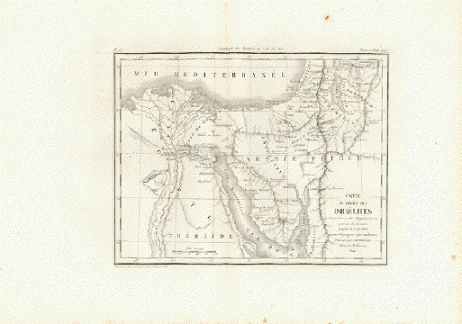
"Carte du Voyage des Israelites. Depuis leur sortie d'Egypte jusqu'au passage du Jourdain"

Historic map about the Israelites leaving Egypt to their crossing of the River Jordan

(according to Sicard)

Copper etching by A.R. Fremin

Dated 1820. Published in "Bible de Vence"

By Henri-Francois de Vence (1676-1749)

Edition: Paris, 1827

Some foxing in margins. Map very good.

Map: 17,5 x 23 cm (ca. 6.9 x 9")

Sheet: 40 x 28 cm (ca. 15.7 x 11")

$ 50.00

Order Nr.HOLYLAND245853


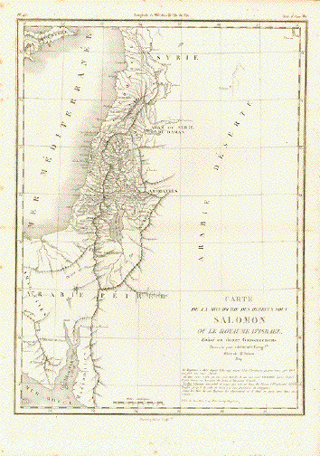
"Carte de la Monarchie des Hebreux sous Salomon ou le Royaume d'Israel devise en douze Gouvernements"

Historic map of the Kingdom of Jews under Salomon or the Kingdom of Israel

Copper etching by A.R. Fremin

Dated 1824. Published in "Bible de Vence"

By Henri-Francois de Vence (1676-1749)

Edition: Paris, 1827

Minor foxing in margins. Map very good.

Map: 34,2 x 24,8 cm (ca. 13.5 x 9.8")

Sheet: 40 x 28 cm (ca. 15.7 x 11")

$ 160.00

Order Nr. HOLYLAND245851


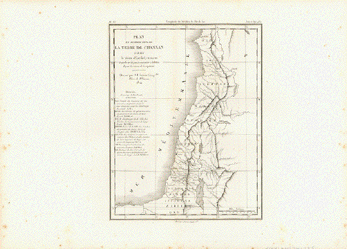
"Plan et Distribution de la Terre de Chanaan suivant la vision d'EzechielÉ"

Historic map of Canaan according to Ezekiel.

Copper etching by A.R. Fremin

Dated 1824. Published in "Bible de Vence"

By Henri-Francois de Vence (1676-1749)

Edition: Paris, 1827

Some foxing in margins. Map very good.

Map: 21,8 x 17,2 cm (ca. 8.6 x 6.8")

Sheet: 40 x 28 cm (ca. 15.7 x 11")

$ 50.00

Order Nr. HOLYLAND245855


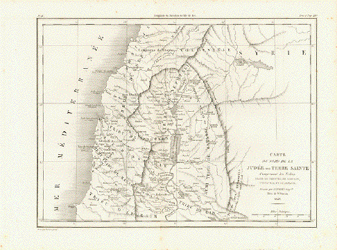
"Carte du Midi de la Judee ou Terre Sainte comprenant les Tribus D'Ephraim, De Gad, De Dan, De Ruben, De Simeon, De Benjamin et de Juda. Ces deux dernieres forment le Royaume de Juda"

Historic map

Copper etching by A.R. Fremin

Dated 1822. Published in "Bible de Vence"

By Henri-Francois de Vence (1676-1749)

Edition: Paris, 1827

Minor foxing in margins. Map very good.

Map: 23,5 x 34,8 cm (ca. 9.3 x 13.7")

Sheet: 40 x 28 cm (ca. 15.7 x 11")

$ 120.00

Order Nr. HOLYLAND245850


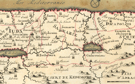
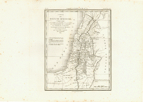
"Carte du Royaume d'Herode. Comprenant La Judee, la Samarie, la Galilee, la TrachoniteÉ"

Historic map of Judea, Samaria, Galile...

Copper etching by A.R. Fremin

Dated 1822. Published in "Bible de Vence"

By Henri-Francois de Vence (1676-1749)

Edition: Paris, 1827

Some foxing in margins. Map very good.

Map: 21,8 x 18 cm (ca. 8.6 x 7")

Sheet: 40 x 28 cm (ca. 15.7 x 11")

$ 50.00

Order Nr.HOLYLAND245854


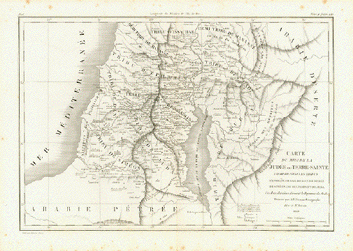
"Carte du Midi de la Judee ou Terre Sainte comprenant les Tribus D'Ephraim, De Gad, De Dan, De Ruben, De Simeon, De Benjamin et de Juda. Ces deux dernieres forment le Royaume de Juda"

Historic map

Copper etching by A.R. Fremin

Dated 1822. Published in "Bible de Vence"

By Henri-Francois de Vence (1676-1749)

Edition: Paris, 1827

Minor foxing in margins. Map very good.

Map: 23,5 x 34,8 cm (ca. 9.3 x 13.7")

Sheet: 40 x 28 cm (ca. 15.7 x 11")

$ 120.00

Order Nr. HOLYLAND245852


Palestine

"Palestina"

Steel etching from Meyer's Atlas ca 1850. Some original hand outline coloring.

In the upper right corner is a plan of Solmon's Temple.
In the lower right corneris a inset showing historical details of Jerusalem.

Map is very clean and in good condiiton.

Map image: 25 x 18.5 cm ( 9.8 x 7 ")

$ 135.00

Order Nr. HOLYLANDMAP249814


"Totus Terræ Sanctæ". Copper etching by P. Cluverius, 1697. Original hand coloring.

The eye-catching cartouche in the upper left corner shows Moses with the Ten Commandments and a religious person surrounded by cherubs. The map is very detailed and reaches from the Nile Delta to Sidon along the Mediterranean coast. Notice a bit of the Red Sea at the bottom of the map.

The map has almost no upper margin and the lower corner of the left margin has been added. Folds to fit book size. Otherwise the map is in Almost Very Good condition.

26.5 x 21.5 cm ( 10.4 x 8.4 ")

Order Nr. HOLYLAND 1913SOLD


Maps of the Near East

Maps of the World

Antique Prints of the Holy Land and Near East

PRINTS OF THE ENTIRE WORLD: Antique town and city views.

RELIGION

Ordering and Payment

To order by e-mail

Terms of sale - Lieferbedingungen

Return to Home Page

Impressum

Datenschutz

© Rainer Rauhut

Please visit our new sites

https://lovelyantiqueprints.com

twitter.com/philographikon2

We often have special sales.