Atlas and Book Title Pages Maps have fascinated me right from the beginning of my encounter with antique prints. Maps, especially the earliest printed ones, document our growing knowledge about the earth we live on. And they do so, geographically, as well as artistically. The early mapmakers were among my heroes as a boy, as much almost as the Greek figures of mythology or the voyagers exploring the world. Mapmakers were intelligent and educated, venturous, probing and courageous. And so were the early publishers of atlases, the compendiums of maps. Some of the Renaissance and Baroque maps were truly pieces of masterful art, extraordinarily decorative and adorned with sea monsters, sailships, windroses and, sometimes, with paraphernalia indiginous to the inhabitants or the wildlife of the area shown. While it was easy to show countries like Great Britain, Italy, Denmark, Spain with their coastlines defining their contures, thus supporting the decorative value of a map, it was quite another thing to make Bohemia, Bavaria or Switzerland, countries without such borderlines, appear interesting as a map. Just look how the mapmakers drew in forests and mountains and rivers to overcome an eye's boredom! And the excellency of their phantsy of cartouches! And although the early maps I speak of lack the precision of maps we now have, the inherent inacuracy was their charm! Maps were usually published in atlases. And atlases were books with titles. And, again, titles were individual pieces of art. A publisher emphazised the importance of a book he published with a spectacular entrée. Usually the pictures of an atlas title page pertained in general to the subject matter: Measuring instruments, mythologigal, astronomical, religious, scientific, allegorical hints and facts were united in a composition which depicted the pride of progress in knowledge. An atlas title page often is just one superb artistic and jubilant cartouche! But what are words? Just have a look at some of them in the following chapter. Can you feel less than intrigued by them...? We have added a few other very decorative title pages of various works. 30% Discount on All Prints with an ATLASTITLE number! Take 30% off the listed price. We accept reasonable offers. |
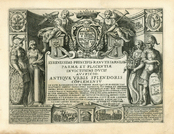
Serenissimi Principis Ranutii Farnesii Parmæ Et Placentiæ Invictissimi Ducis Auspicio Antiquæ Urbis Splendoris Coøplementuø In Quo Romanorum In Terris Mariq. Copiæ Dignitas Militaris Omnes Terrestres Navalesq. Victoriæ et Triumphi omnes Reges Regina et Principes triomphatiÉ"Refering to Parma and Piacenza Dedication page (title) to ãAntiquae Urbis splendoris coplementuÉ" (The splendor of Ancient Rome) By Giacomo Lauro (1561-1650) Published in Rom, 1615 (Date engraved in Latin numbers) Shield on left with Plan of the City of Parma. Flanked by Athene / Minerva. On the right shield: Foundation of the antique City of Rome. Flanked by Godess Fortuna with the cornucopias. Angels holding crown above coat of arms. On left: Olive twig. On right: Trumpet. Below dedication inscipture: A small view of the Pantheon in Rome. Image: 17,5 x 22,9 cm (ca. 6.9 x 9") $ 120.00 Please look for discount at top of this page. Here 30% = $ 84.00 Order Nr. TITLE255907 |
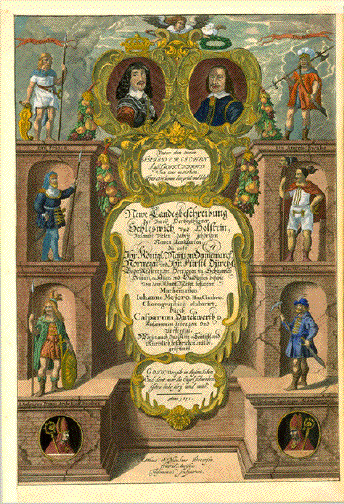
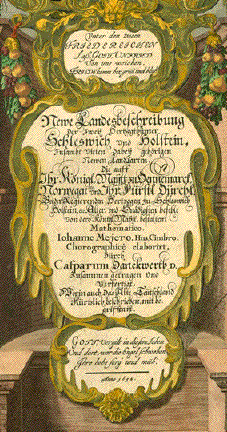
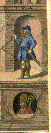
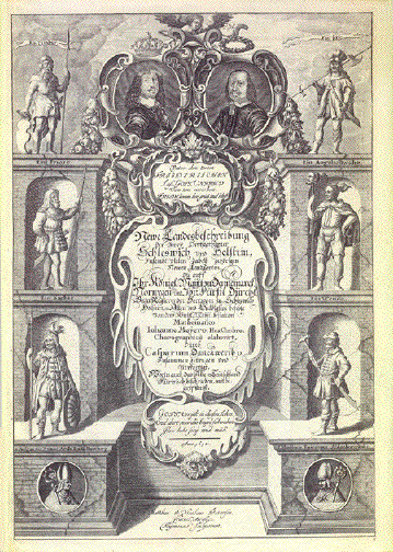
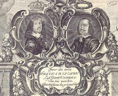
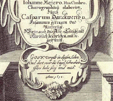
"Newe Landesbeschreibung Der Zwey Hertzogthümer Schleswich und Holstein, zusambt Vielen dabei gehörigen Newen Landkarten die auff Ihr Königl.=Maytt. Dennemarck, Norwegen etc. und Ihr Fürst. Dürchl. Beeder Regierenden Hertzogen zu Schleswig Holstein, etc. Aller= und Gnädigsten befehle Von dero Königl. Maytt. bestaltem Mathematico Ioanne Mejero. Hus. Cimbro. Chrorographice elaboriert dürch Casparum Danckwerth D. Zusammen getragen und Verfertigt, Worin auch das Alte Deutschland Kürzlich beschrieben, mit begriffen ist" Oben in der barock stilisierten Atlas-Kartusche die Herzöge von Schleswig und Holstein. Links: Ein Cimber, Ein Friese, Ein Sachse und S. Ansgarius, Erzbischof von Hamburg. Rechts: Eine Jute (Jütländer), Ein Angelschwabe Ein Wende und S. Vicelinus Bischof von Altenburg (Oldenburg in Holstein). Titelseite des grossen Schleswig-Holstein Atlas von Johann Mejer aus Husum (1606-1674) Bei Gebrüder Petersen Aurich, 1652 Zustandsbeschreibung. Der
Zustand ist nahezu sehr gut. Leichte generelle
Alterstönung. 40,5 x 27,5 cm (15.9 x 10.8") $ 460.00 Order Nr. ATLASTITLE254013 |
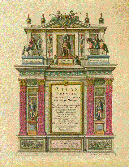
"Atlas nouveau Contenant Toutes les Parties du Monde ou Sont exactement Remarques Les Empires, Monarchies, Royaumes, Estats, Républiques & Peuples qui sy trouvent a present Par le Sr. Sanson Geographe ordinaire du Roy - Presente a Monseigneur le Dauphi par son très humble très obéissant et très fidele Serviteur Hubert Jaillot Geographe du Roy" Author: Nicolas Sanson (1600-1667) Publisher: Huibert Jaillot (1632-1712) Published in: Paris, dated 1697 After the death of Nicolas Sanson, geographer, map maker and publisher, in 1667 his sons Adrien and Guillaume continued their father's work, The atlas production and publication was done by Hubert Jaillot. Copper etching with original hand color. This was the title page for the atlas with the (Exact title wording, please see above) In the center above, under the coat of arms of the Bourbons, we see Hercules, as he is is lifting the globe of the Earth. He is flanked on the left by Louis le Grand (Louis XIV) on horseback and to the right, also on horseback, by ãMonsieur le Dauphin" = Son of Louis XIV, who was the designated successor to Louis XIV. But he died before his father, so that he could not follow him on the French throne) The title text is flanked by Mars (left) and Pallas (right). Lower left corner battle scene in Cassel (Netherlands). The battle between France and the Netherlands in 1677 ended with a French victory. On the right: Battle of Seneffe (1674). Battle between France and the Netherlands. Seneffe is now a Belgian city. Condition: Reverse side blank. Extreme lower right corner outside plate marks has been replaced Some creases. Pleasant age toning. Nice original hand color. Plate mark measures: 45,6 x 36 cm (ca. 18 x 14.2") $ 480.00 (Please look for discount at top of this page. Here 30% = $ 336.00) Order Nr. ATLASTITLE97117 |
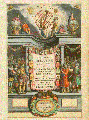
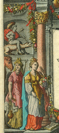
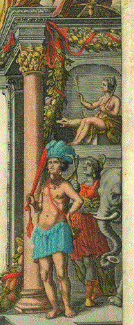
"Nouveau Theatre Du Monde ou Nouvel Atlas comprenant Les Tabes et Descriptions de Toutes les Regions de la Terre Divise en Trois Tomes" Beautiful Atlas Title Page for the world atlas Copper etching with superb original hand coloring. Published by Henrico Hondius (1573-1650) Amsterdam, 1641 The upper part of this title page is devoted to Astronomy: Atlas carrying the earth. And astronomers eager observing, studying and deciphering the riddles of the world. On the left a celestial globe, on the right an astronomer measuring and surveying the earth. Above all the sun, the moon and stars lovely staged. The title cartouche framed with many crowned coats of arms . To the left the European explorers. On the right a congregation of natives of all known continents. At bottom Hondius's own cartouche. He was one of the early and very important Dutch geographers and publishers of atlases. Very good condition. The original hand coloring outstandly beautiful. Reverse side: blank Natural age toning in margins. A light, hardly visible crease in image. Image; 37 x 23,7 cm (ca. 14.5 x 9.3") Order Nr. ATLASTITLE97115SOLD |
Atlas page Mejer Schleswig-Holstein Schleswich "Newe Landesbeschreibung Der Zwey Hertzogthümer Schleswich und Holstein, zusambt Vielen dabei gehörigen Newen Landkarten die auff Ihr Königl.=Maytt. Dennemarck, Norwegen etc. und Ihr Fürst. Dürchl. Beeder Regierenden Hertzogen zu Schleswig Holstein, etc. Aller= und Gnädigsten befehle Von dero Königl. Maytt. bestaltem Mathematico Ioanne Mejero. Hus. Cimbro. Chrorographice elaboriert dürch Casparum Danckwerth D. Zusammen getragen und Verfertigt, Worin auch das Alte Deutschland Kürzlich beschrieben, mit begriffen ist" Oben in der barock stilisierten Atlas-Kartusche die Herzöge von Schleswig und Holstein. Links: Ein Cimber, Ein Friese, Ein Sachse und S. Ansgarius, Erzbischof von Hamburg. Rechts: Eine Jute (Jütländer), Ein Angelschwabe Ein Wende und S. Vicelinus Bischof von Altenburg (Oldenburg in Holstein). Titelseite des grossen Schleswig-Holstein Atlas von Johann Mejer aus Husum (1606-1674) Bei Gebrüder Petersen Aurich, 1652 Zustandsbeschreibung. Der Zustand ist nahezu sehr gut. Leichte generelle Alterstönung. Die linke und untere Margen schmal und deshalb angesetzt. Kaum nennenswerte, minimale Spuren von Alter und Gebrauch. ***** "News Landesbeschreibung Der Zwey Hertzogthümer Schleswich und Holstein, zusambt Vielen dabei gehörigen Newen Landkarten die auff Ihr Königl.=Maytt. Dennemarck, Norwegen etc. und Ihr Fürst. Dürchl. Beeder Regierenden Hertzogen zu Schleswig Holstein, etc. Aller= und Gnädigsten befehle Von dero Königl. Maytt. bestaltem Mathematico Ioanne Mejero. Hus. Cimbro. Chrorographice elaboriert dürch Casparum Danckwerth D. Zusammen getragen und Verfertigt, Worin auch das Alte Deutschland Kürzlich beschrieben, mit begriffen ist" This atlas title describes a
new description atlas of Schleswig Holstein including some
maps of Denmark and Norway. Tn the upper area is a baroque cartouche from the noble family of Schleswig Holstein. On the left is a Cimber, a Friesian, a Saxon and St. Ansgarius, Archbishop of Hamburg. On the right side is a Jute, an Anglosaxon, a Wende, and St. Vicelinus Bishop of Altenburg. This is the title page of the large Schleswig Holstein Atlas by ohann Mejer aus Husum (1606-1674) Published by Gebrüder Petersen in Aurich, 1652 Good condition, Some light natural age toning. The left and lower margins have been widened. 40,5 x 27,5 cm (15.9 x 10.8") $ 560.00 Order Nr. ATLASTITLE253952 |
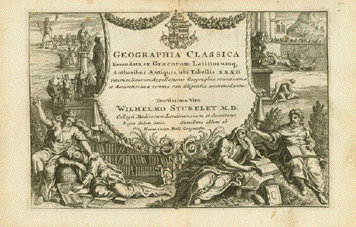
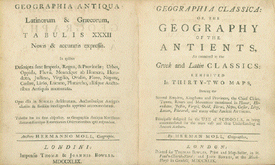
"Geographic C lassica Emendata, ex Graecorum Latinorumque AuthoribusAntiquis, ubi Tabellis XXXII Veterum Locorum Appellationes Geographiae recentissimae et Accuratissimae summa cum diligentia accomodantur: Doctissimo Viro Wilhelmo Stukeley M.DÉ." Copper engraved title page for the atlas "Geographia Classica" by Hermann Moll (ca. 1654-1732) Including two frontispiece text tile page in Latin and in English Languages. London, 1749 Light spotting. Signs of age and use. Vertical centerfold. 14,8 x 22,3 cm (ca. 5.8 x 8.8") $ 120.00 (Please look for discount at top of this page. Here 40% = $ 72.00) Order Nr. TITLEPAGES255619 |
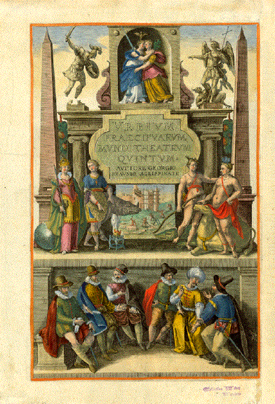
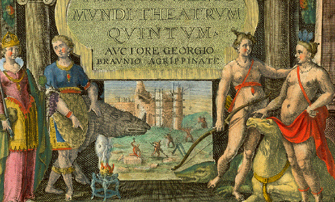
"Urbium Praeciparum Mundi Theatrum QuintumÉ" Titel page. Part 5 of "Civitates Orbis Terrarum". By Georg Braun and Frans Hogenberg. Copper etching. Original hand coloring. Cologne, ca. 1580 Title page - Second Part - of the famous city book. Head of a crocodile as part of image below title cartouche. Right margin added. Margins show definite traces of age and use. Colector's ink stamp bottom margin. Order Nr. ATLASTITLE252710SOLD |
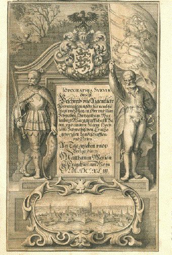
Book title: "Topographia Sveviae das ist Beschreib: und Aigentliche Abcontrafeitung der fuer nembste Staett und Plaetz in Ober und Nider Schwaben, Hetzogthum Wuertenberg, Marggraffschafft Baden und andern zu dem Hochloebl. Schwaebischen Craisse gehoerigen Landtschafften und Orten. An Tag gegeben undt Verlegt durch Matthaeum Merian. Franckfurt am Mayn, 1643" Title for Merian's topographic picture book with regard to the Southwest of Germany: Swabia (now belonging to Bavaria) and Baden-Wuerttemberg. Showing at bottom: a view of the City of Ulm. Showing a Celtic barrier on left and a herald with the flag of St. George stabbing the dragon. On top we see the black eagle spreading his wings across the coat of arms of Baden-Wuerttemberg. Copper etching title for "Topographie Svaviae" by Matthaeus Merian (1593-1650) Copper etching is trimmed to edges and laid down on 17th century paper. General age toning.. Strong impression. Image: 27,3 x 16,7 cm (ca. 10.7 x 6.6") $ 110.00 (Please look for discount at top of this page. Here 30% = $ 77.00) Order Nr.TITLE255906 |
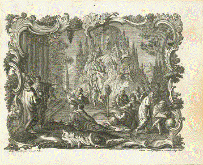
No title. Ambiguous copper etching. Title page to Lotter's miniature atlas. By Tobias Lobeck after drawing by Gottfried Eichler the younger (1715-1770) "Atlas geographicus portatilis, xxix, mappis orbis habitabilis regna exhibens. Caelo accurate expressit Tobias Conradus Lotterus, delineavit et excudit Tobias Lobeck, chalcograph: Augustan... (Augsburg, 1762) (engraved by)Tobias Lobeck. Sculpsit et execudit, Aug. A.Y. (after) G. Eichler." Augsburg, 1762 Age-tinted and a bit soiled on right side from page turning 9 x 12 cm (ca. 3.5 x 4.7") $ 75.00 (Please look for discount at top of this page Order Nr. ATLASTITLEPAGE253042 |
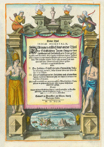
Atlas Title Pages - Linschoten - India - South East Asdia. "Dritter Theil Indiae OrientalisÉ" Hier hinein bitte in deutlich lesbaren Buchstaben den Text der Titelseite. Hand-colored copper etching of the title page of the third part of Jan Huygen van Linschoten (1563-1611) German edition of his "Itinerario" Publishers: Johann Theodor and Johann Israel de Bry Frankfurt on the Main 1599 Linschoten went to Goa (Portuguese India) and worked during six years as secretary to the Arch Bishop in Goa. His position provided him access to all valuable secret material, collected by the Portuguese in one hundred years of presence in India and in South East Asia. Linschoten copied secretly what seemed of interest and took it on a voyage to Europe. English pirates caused a ship wreck, which forced Lischoten to stay on the Azore Islands for two years. In 1592 he finally landed in Lisboa and returned to the Netherlands. He wrote and published his first book: Travel report about the Portuguese Navigation in the Orient. He described herein sailing routes not only to India but also to China and Japan. He published two more books, one of which was the famous: Itinerario: Voyage of the schipvaert van Jan Huyghen van Linschoten naer Oost ofte Portugaels Indien, 1579-1592. We offer here for sale the title page of Part III of the German edition of 1599. At the bottom of this title page a depiction of Linschoten's ship wreck near the Azores. The figures left and right are natives of Asia. Left and right margins are widened. Otherwise very good condition. 28 x 19,5 cm (ca. 11 x 7.7") $ 520.00 (Please look for discount at top of this page) Order Nr. ATLASTITLE PAGE 254182 |
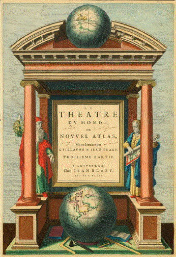
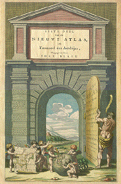
"Le Theatre du Monde ou Nouvel Atlas, Mis en lumière par Guillaume & Jean Blaeue" Title page of the Blaeu family "Atlas Major" third part. Copper etching. Soft and yet determined original hand coloring. We stand in from t of the portico of the world, looking at an astronomer with his gear at left and a geographer unrolling a map at right. Above a celestial globe, at bottom the globe of our earth, with Felix Arabia, the Arabian peninsula facing us. Scattered around the earthal globe we see the insignia of freemasonry an atlas and, maybe, the book of wisdom. Yes, we face an impressive stage at a time of discovery! Condition: Beautiful original hand coloring. There is a hand-written Ex Libris (black ink scattered between the title words. Margins all around are narrow. Reverse side has no print. A few visible spots on reverse side, and a couple of remnants from mounting the print. In general: Condition is very good. 40,8 x 27,5 cm (ca. 16 x 10.8") Order Nr. ATLAS TITLE PAGE252538 SOLD |
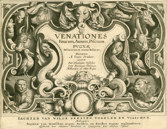
Title Page: "Venationes, Ferarum, Auium, Piscium. Pugnae Bestiariorum: & mutuae Bestiarum, Depictae A Ioanne Stradano: Editar Per Nicolaum VisscherÉ" Below image: Title in the Dutch language: "Iachten van wilde beesten, vogelen en visschen..." (Hunting of wild animals, birds and fish) By Johannes Stradanus (Jan van der Straet 1523-1605) Title page for Stradanus' famous hunting book hunting of all kinds of animals, which are partially shown realistically and partially shown symbolically. Am,sterdam, ca. 1600 Trimmed to plate mark. Age-toned. In very good condition. Image: 20 x 25,8 cm (ca. 6.2 x 10.2") $ 500.00 (Please look for discount at top of this page. Here 30% = $ 350.00) Order Nr. TITLE255905 |
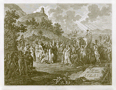
"Grosser Deutscher Atlas." (Great German Atlas) Copper etching by Karl Schuetz after Franz Johann Joseph von Reilly (1766 - 1820) Misleading title, as it was the
first Austrian-made complete world atlas. Very good condition. 43 x 56.8 cm (16.9 x 22.4") $ 850.00 Order Nr. ATLASTITLE97112 |
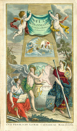
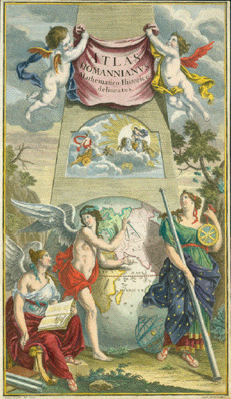
Atlas Homannianus Mathematico-Historice delinatus. Copper etching by Andr. Hoffer after I. Iust. Preisler, dated 1762. Published by Homann heirs. Original hand coloring heightened with egg white. Print has narrow margins. Hardly visible crease in lower part of image. A typical baroque atlas title with two putti (cherubs) holding the book title Helios (Sol) and Zeus (Jupiter) are thundering through the clouds in their wagons, a male angel relates his findings of measuring Afghanistan to a female angel who writes a book: "Introduction to Geography", while the science of astrology is depicted by a female with a skirt adorned with the firmament holding astronomical instruments 47 x 27.2 cm ( 18.5 x 10.7 ") $ 600.00 Order Nr. ATLASTITLE9701A |
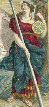
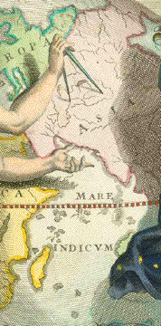
"Atlas Homannius Mathematico Historice delineatus" Title page of the Atlas by Johann Baptist Homann (1664-1724) Copper etching heightened with gum arabicum The title cartouche held by two winged putti. Below title Helios (Sol) with aureola in his chariot drawn through the skies by four stallions, surrounded by a glistening aureole. Towards him rides, in her chariot, drawn by two doves, Aphrodite (Venus). Below title cartouche and the described inset we see a large globe of the earth, with the "Old World", Europe, Afric, Asia facing us. A young winged male angel measuring the earth with a compass and relating his measurements to a female angel who writes the into a book of geography atlas). As we turn our eyes to the right foreground of the engraving, we see Urania, muse of astrolomy, holding a telescope, and in her other hand a measuring instrument. Her garb its sparkling with stars. Copper etching with gum arabicum by Andreas Hoffer after the drawing by Johann Justus Preisler Nuremberg, dated 1762 Condition is very good. Verso no print. Narrow margins all around. Verso: few minor traces of age and use. 47,3 x 27,4 cm (ca. 18.6 x 10.8") $ 600.00 (Please look for discount at top of this page) Order Nr. ATLASTITLE252545 |
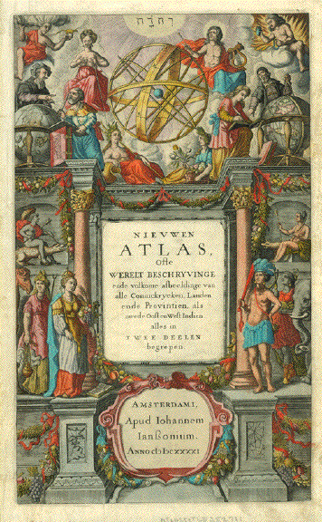
"Nieuwen Atlas ofte Werelt Beschryvingee" Atlas title page. Second part of world atlas by Jan Janssonius. Copper etching. Original hand coloring . Amsterdam, 1641 On left side a man riding a crocodile. Illustrous page with elements of Astronomy, Geography, Continents. Decoratve engraving. Minor traces of age and use in margins. 38,5 x 23,2 (ca. 15.2 x 9.1") $ 380.00 Order Nr. ATLASTITLE252711 |
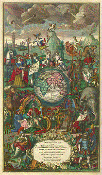
Atlas Novus Totus Orbis Faciem, Partes, Imperia, Regna Et Provincias Exhibentes, Exactissima Cura Iuxta Recentissimas Observation. Æri Incisæ et Venum Expositæ A Matthæo Seutter Sac. Cæs. Majest. Geogr. Augustæ Vindilicorum. Copper etching by Martin Gottfrid Crophius after Jacob Christoph Weyerman Original hand coloring. Augsburg, ca. 1740. 49 x 28 cm ( 19.3 x 11 ") The center of this title shows Europe, Africa, Asia and Australia in a hemispherical globe surrounded by allegorical personifications and typical animals living on the various continents. Above all are putti blowing wind in four directions, Pegasus on a mountain top. Mercurius and Neptune with their symbols, ocean.going vessels and a playful symbolic depiction of the four elements. At the bottom symbols of science and power flanking the title cartouche. On the upper right is a map being held by Native Americans showing the american Hemisphere and California as an island. Upper and right margins have been reinforced due to small repaired tears on margin edges and a repair in lower right margin corner. Repaired tear in upper right margin reaching 7 cm into image. $ 720.00 Order Nr. ATLAS TITLE9702A |
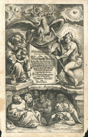
"Historischer Chronick Oder Warhaffter Beschreibung aller fürnehmen und denckwürdigen Geschichten so sich hin und wider in der Welt meisten theils aber in Europa von Anno Christi 1629. biß auff das Jahr 1633. zugetragenÉ" Copper engraved book title for one volume of Description of the "Thirty Year War" by Matthaeus Merian (1593-1650) Frankfurt on the Main, ca. 1650 Copper etching by Johann Hulsmann With plenty of emblematic symbolism: Trustes of Jericho, the Eye of God, the passing of time (Tempus), showing Death riding speedily on a winged fabulous creature with an hourglass in one hand and and a scythe in the other. A teacher (Magistra Vitae) is teaching History to a child. Lux veritatis, the light of truth, is symbolized by a crowned naked woman sitting on a globe of the World and holding a torch. The underworld (Inscitia = Ignorance) is symbolized by men chained to ignorance, others masked and chained with mendacity (Mendacium = the lie) and others dormant as if drugged with forgetfulness (Oblivio). The owl, symbol of wisdom sitting in back - unobserved. Paper of print shows age toning. Four worm holes in image. Lower right margin corner missing. Strong impression Some lght creasing. Image: 29 x 17,6 cm (ca. 11.4 x 6.9") $ 120.00 (Please look for discount at top of this page. Here 30% = $ 84.00) Order Nr.Title255908 |
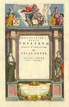
Gvil. Et Ioannis Blaev sive Atlas Novvus. Partis Primæ Pars Altera. Amsterdami, Apud Ioh. & Cornel Blaev. c I c I c x L When you compare this title page with the following one you can see how different editions of atlases came about. This one is in the Latin language, the following one in German. This one waspublished by Johan and Cornelius Blaeu in 1640, the following one only by Johan Blaeu in 1647. The rest of the decoration remained untouched. Only the publisher's signum was added separately printed to the cartouche below. Copper etching. Modern hand coloring and guilding. Amsterdam 1640 Print has wide margins. Light, scattered spotting in margins. Light crease on left side to the right of nun from a horizontal centerfold that is mainly visible from the backside. 32.3 x 19.3 cm ( 12.7 x 7.6 ") $ 680.00 Order Nr. ATLAS TITLE9703A |
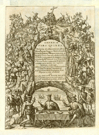
"Americae Pars Quinta Nobilis et admiratione plena Hieronymi Benzoni Mediolanensis, secundae sectionis Hispanorum" Title page - copper etching - for the fifth volume of the famous America Discovery Account, published by de Bry Author: Girolamo Benzoni (1519-1572) Copper etching. Title Page for Book V. Publishing House Theodor de Bry (1528-1598) Publisher: Johann Theodor de Bry (1560-1623) The date in the title catriuche on the title page reads 1595. But the book was actually only published in Frankfurt on the Main in the year 1617 Description of image: A Jesuit priest takes the oath of two Spaniards, while four other Spaniards are watching the scene. Driven by armed Spanish soldiers a number of native slaves carry encumbrances up a ragged steep mountain to the summit, on top of which the Christian cross is raised. On the opposite side of the title cartouche soldiers and natives are descending. Trimmed to borderline of print. All four margins have been added at an indeterminable later time. There are some minor paper faults upper right and upper left - with no loss to image. 29 x 21 cm (ca. 11.4 x 8.3") $ 450.00 (Please look for discount at top of this page) Order Nr. ATLASTITLEPAGE253135 |
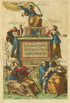
Liber Qvartvs Contrafactur und Beschreibung von der vor nembsten Sitten der Welt Honor, Constantia, Dignitas, Pax, Iustitia, Diligenti, Sapientia Copper etching in original coloring. Cologne, ca. 1580 This title was a formidable decoration to the fourth book (of five) of Georg Braun's and Franz Hogenberg's famous and incredibly beautiful as well as important "Civitates Orbis Terrarum" published in Cologne between the years 1572 and 1590. The beauty of the etchings inside the book are reflected by the introductory beauty of the title. The translation of the the title cartouche in the German language is: "Depiction and Description of the most noble Cities of the World". And while this book is not exactly an atlas, we have added it to this collection, as it definately is also a description of the world, just as atlases are. Backside is printed with article (in Latin) concerning the privledges of Maximilian II as well as information about the historian and geographer Franz Hogenberg. Print has light scattered spotting, especially in margins. Right margin edge has tiny repaired tears. Lower margin edge has repaired tears. One tear reaches 1 cm into image. Three wormholes in lower margin have been repaired. 33.7 x 22.2 cm ( 13.2 x 8.7 ") Order Nr. ATLAS TITLE9706ASOLD |
Seste Deel Joan Blaeu Title on door: "Novvs Atlas Sinensis, a Martino Martinio Soc. Iesu Descriptv et Serenissimo Archidvci Leopoldo Gvilielmo Avstriaco Dedicatvs. The sixth book published by the Blaeu family in Amsterdam was devoted mainly to China and Japan. The maps in this atlas were done by the Jesuit cartographer Martino Matini (1614-1661). And that's why the cute little cherubs are holding a map of East Asia and the globe's face also shows East Asia and, lo and behold for that early age, a fairly accurate depiction of Australia. A Gate with guilded hinges opens to a landscape typical of China. Left margin has been added. Right and lower margins have been reinforced. Repaired tears in right and lower margins. One tear in lower margin reaches 1 cm into image. Margins are browned with scattered spotting. 42.5 x 26.2 cm ( 16.7 x 10.3 ") Order Nr. ATLAS TITLE 9708A SOLD |
|