Antique Maps of Cyprus

A selection of our historical maps where Cyprus is shown. Also view Maps of the Mediterranean. Please notify us if you are looking for a special map.

Sale! Discount!

30% Discount on All maps with a CYPRUSMAP number on this page!

Take 30% off the listed price. !

Visit us at the following sites:

https://lovelyantiqueprints.com

twitter.com/philographikon2

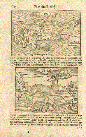
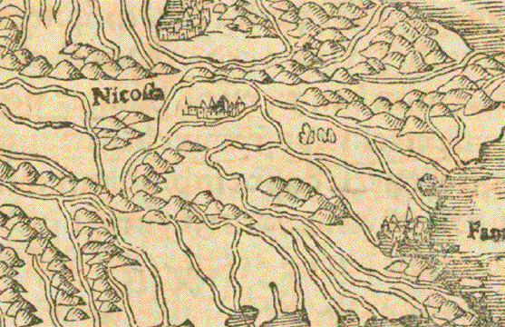
"Cyprus" Zypern

Karte der Insel / Map of the island

Holzschnitt auf der vollen Buchseite / Woodcut on the füll book page

Aus / Published in "Cosmographia" von / by Sebastian Münster (1488-1552)

Zustandsbeschreibung: Guter Abdruck aus einer frühen deutschsprachigen Ausgabe - Basel, 1553

Leichte, gleichmässige Alterspatina. Obere Einfassungslinie der Karte hat ein winziges Löchlein. 

Die Margen teilweise fleckig mit Alters- und Gebrauchsspuren. Lachlein - Margen unten

Condition: Good imprint from an early German language edition - Basle, 1553

Light general age patina. There is a tiny hole on the upper map border line. Margins partially spotty and with traces of age and use.

Small hole in lower margin.

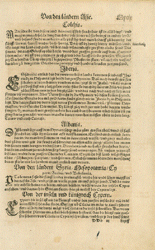
Rückseite hat den Artikel über Zypern

Reverse side has text print of the article about Cyprus.

Abmessungen / Measurements Karte / Map: 9,7 x 14,8 cm (ca. 3.8 x 5.8")

Seitengrösse / Page size: 31 x 19,5 cm (ca. 12.2 x 7.7")

$ 310.00

Order Nr. CYPRUSMAP251522
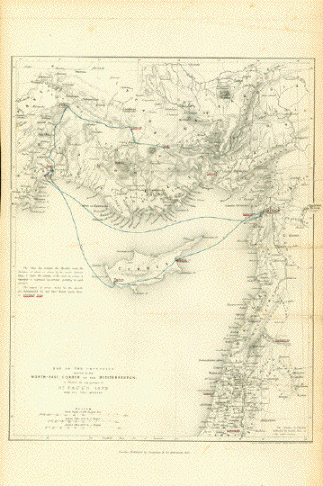

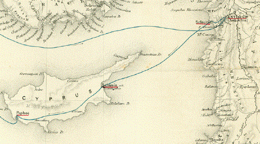
"Map of the Countries adjacent to the Corner of the Mediterranean
to Illustrate the Early Passages of St. Paul's Life and his First Journey"

Steel engraving map by H. Hughes, Aldine Chambers at Paternoster Row. .Published 1854.

Routes of St. Paul's journey are shown in blue. Important stops are red underlined.

The map has horizontal folds to fit original book size.
Some light creasing, spotting and minor signs of age and use.

Map image: 31.5 x 24.5 cm ( 12.4 x 9.6")

$ 160.00

Order Nr. MEDITERRANEAN253061


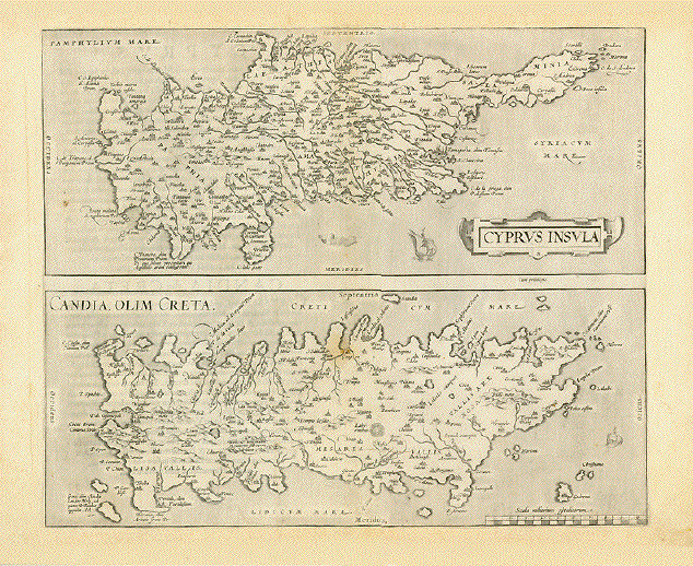
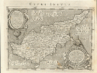
ãCyprus Insula" - ãCandia, Olim Creta" (Cyprus and Crete)

This is a collectors' item!

Copper etching

Publisher: Abraham Ortelius (1527-1598)

Published in: First edition of ãTheatrum Orbis Terrarum"

Page Nr. 39 - only in the first edition

Watermark: First edition watermark

Where: Antwerp

When: 1570

Reverse side text: Latin

Condition: Map has only few traces of age and use. Some foxing. General age toning.

Upper and lower margins have been widened, as in the first edition of the ãTheatrum" margins were always narrow.

Two maps on one sheet

Cyprus: 18 x 43,5 cm (ca. 7.1 x 17.1")

Crete: 17,4 x 43,5 cm (ca. 6.9 x 17.1")

Entire sheet: 44,3 x 51,8 cm (ca. 17.4 x 20.4")

Order Nr. CYPRUSMAP238286SOLD


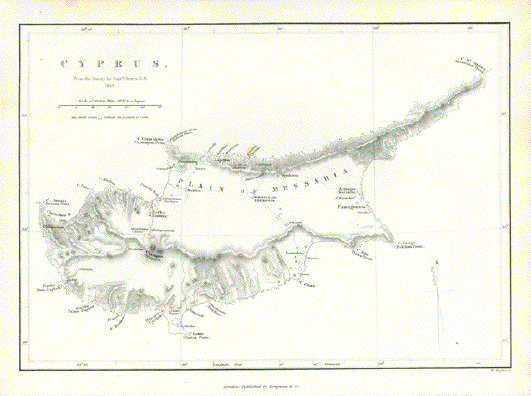
"Cyprus"
"From the survey of Capt. Graves R. N. 1849"

Steel engraving map by W. Hughes published 1854.

In the center is Nicosia (Lefkosia).

Very good condition.

Map image: 17 x 24 cm (6.6 x 9.4")

Order Nr. CYPRUSMAP253242 SOLD


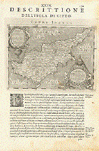
"Descrittione Dell'Isola di Cipro" Cyprus

Copper etching after Claudius Ptolemaeus published in ãGeografia cioe Descrittione Universale della Terra" Gio. Battista & Giorgio Galignani Fratelli. Venice, 1598

First edition in Italian prepared by Giovanni Antonio Magini (1555-1617)

Map inclusive the entire text in the Italian language. Two extra pages of text with map.

Light general age toning. Some traces of age and use.

Sheet size: 28.5 x 19.5 cm (11.2 x 7.7")

Map size: 12.3 x 16.6 cm (4.8 x 6.5")

$ 420.00

Order Nr. CYPRUS235809SOLD


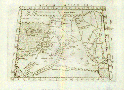
"Tabula Asiae IIII". Copper etching from: "Geographia" by Claudio Ptolemy. Originally edited and published by Willibald Pirckheimer. This edition, which comprises all 64 maps of the "B" edition, including the "New World", was published by Josephus Meletius 1562 in Venice.

Syria, the Holy Land, Iraq, part of Iran, the northern part of Saudi Arabia, southern Turkey and Armenia are featured on this map. In the lower right is the moth of the Euphrates river in the Persian Gulf. In the lower left is the northern part of the Red Sea. Cyprus is to the West of Syria with its ancient names.Verso: Text in Italian and distances between the major points on this map.

Repaired worm tracks along center fold. Light browning along centerfold. Map is otherwise in Very Good condition.

17.8 x 25.5 cm ( 7 x 10 ")

$ 520.00

Order Nr. NEAREASTMAP1801


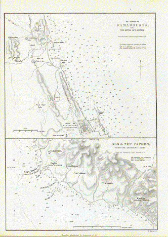
Upper Image: "The Harbour of Famagousta with the ruins of Salamis"
Lower Image: "Old and New Paphos with the Adjacent Coast"

Steel engraving map by W. Hughes, 1854.

Image: 24 x 17 cm ( 9.4 x 6.6")

$ 80.00

Order Nr. CYPRUSMAP253250


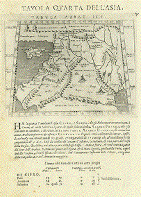
"Tavola Quarta Dell'Aisa" (The fourth Ptolemy map of Asia)

Map shows: Cyprus, South east Anatolia, Syria, Lebanon, Israel, Jordan, Sinai Peninsula, Northern part of the Arabian Peninsula. Irak, Kuwait

Copper etching after Claudius Ptolemaeus published in ãGeografia cioe Descrittione Universale della Terra" Gio. Battista & Giorgio Galignani Fratelli. Venice, 1598

First edition in Italian prepared by Giovanni Antonio Magini (1555-1617)

Light general age toning. Some minor traces of age and use.

*******

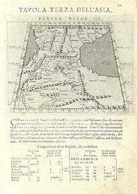
Reverse side: "Tavola Terza Dell'Asia" (The thrid Ptolemy map of Asia)

Map shows Gedorgia, Armenia, Aserbaidshan, Iran. The land bridge between The Black and the Caspian Sea.

Sheet: 28.5 x 19 cm (11.2 x 7.5")

Map: 12.4 x 17 (4.9 x 6.7")

$ 320.00

Order Nr. NEAREAST235645


Views of Cyprus

Maps of Turkey and Asia Minor

Maps of the Mediterranean

Maps of the World

E-Mail

Terms of Sale - Lieferbedingungen

Return to Home Page

Impressum

Datenschutz

© Rainer Rauhut