Alte Landkarten von Deutschland (Seite 4)

Antique Maps of Germany (Page 4)

This is a selection of our historical maps of Germany. There are several pages more. Click the link at the bottom of the page to see more. If you are looking for a particular map please contact us. If you want to know if a certain town or city is on one of our maps, please ask.

Ordering and payment.

Sale! Discount!

30% Discount on All maps with a DEUTSCHLAND number on this page!

Take 30% off the listed price. !

We accept reasonable offers.

Visit us at the following sites:

https://lovelyantiqueprints.com

twitter.com/philographikon2

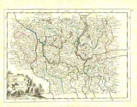
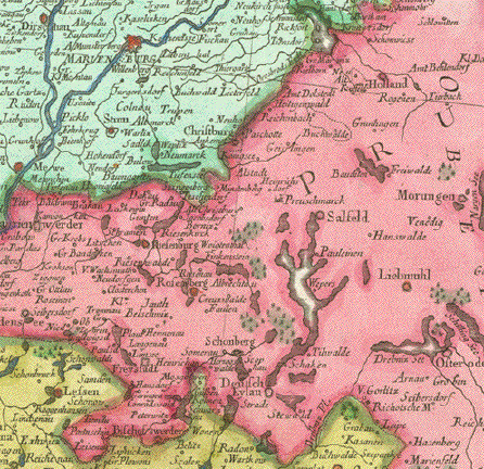
"Le Marquisat et Electorat de Brandenbourg"

Copper engraving with original outline coloring.
From "Introduction a la Geographie" published by Le Rouge in Paris ca 1760.

Map has a vertical fold to fit original book size. Light natural age toning in margins.

Map image: 20 x 27 cm ( 5.8 x 10⁻⁶")
Page size_ 24 x34 cm ( 9.4 x 13.3")

$ 110.00 minus 30% Discount = $ 84.00

Order Nr. DEUTSCHLAND255917


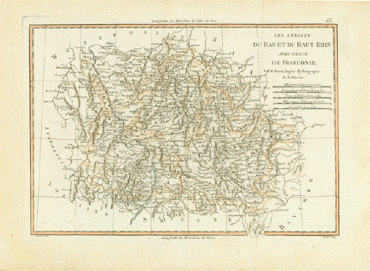
"Les cercles du Bas et du Haut Rhin avec celui de Franconie"

Copper engraving by Rigobert Bonne, 1787.

The map shows part of the course of the Rhine river on the left side.

In the center of the map is Hanau. In the northwest is Dusseldorf and Meurs.

In the lower left is Saarbruecken and Metz and in the lower right is part of the

Danube and Ingolstadt. Weimar and Jena are in the upper right.

A pleasant light coloring adds a decorative effect to the map.

Copper engraving. Vertical fold to fit original atlas size.
A few signs of age and use.

Image: 23 x 34 cm ( 9 x 13.3 "

$110.00

Order Nr. DEUTSCHLAND25041250412


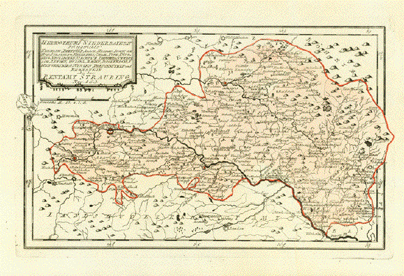
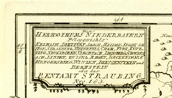
"Des Herzogtums Niederbayern Pflegegerichte Kelhaim, Dietfurt, Abach, Haidau, Stadt Am Hof, Straubing, Mtterfels, Cham, Furt, Kötzing, Neukirchen, Viechtach, Leonberg, Schwarzach, Linden, Zwiebel, Regen, Deckendorf, Hengersberg, Winzen, Diessenstein und Bernstein oder das Rentamt Straubing"

Altkolorierte Kupferradierung

Karte 163 aus dem Atlas: "Schauplatz der fünf Thiele der Welt".

Von Franz Johann Joseph von Reilly (1766-1820)

Wien, 1791

Sehr guter Erhaltungszustand

******

Copper engraving with original hand-colored outline.
Map Nr. 163 from the Atlas "Schauplatz der fünf Thiele der Welt".

By Franz Johann Joseph von Reilly (1766-1820).

Published in Vienna 1791. Very good cndition.

Image: 22 x 35,5 cm ( 8.6 x 13.9")

$120.00

Order Nr. DEUTSCHLAND253317


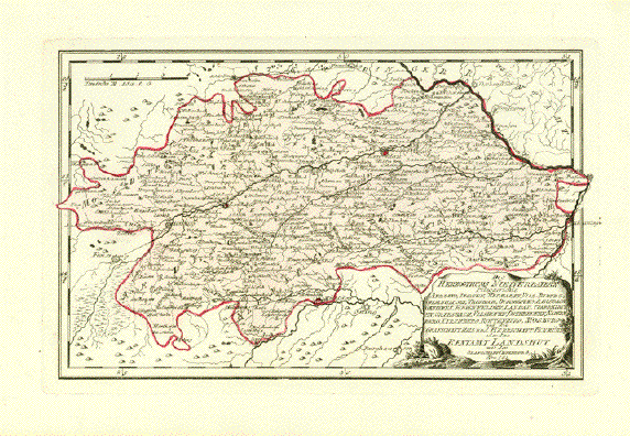
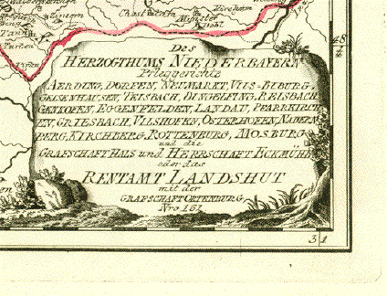
"Des Herzogtums Niederbayern Pflegegerichte Aerding, Dorfen, Neumarkt, Vils=Biburg, Gelsenhausen, Teisbach, Dingelfing, Belsbach, Gaenkofen, Eggenfelden, Landau, Pfarrkirchen, Grisebach, Vilshofen, Osterhasen, Nadernberg, Kirchberg, Rottenburg, Mosburg und die Grafschaft Hals und Herrschaft Eckmühl oder das Rentamt Landshut mit der Grafschaft Ortenberg

Altkolorierte Kupferradierung

Karte 162 aus dem Atlas: "Schauplatz der fünf Thiele der Welt".

Von Franz Johann Joseph von Reilly (1766-1820)

Wien, 1791

Sehr guter Erhaltungszustand

*******

Copper engraving with original hand-colored outline.
Map Nr. 162 from the Atlas "Schauplatz der fünf Thiele der Welt".

By Franz Johann Joseph von Reilly (1766-1820).

Published in Vienna 1791. Very good cndition.

Image: 21.7 x 35 cm ( 8.6 x 13.7")

$120.00

Order Nr. DEUTSCHLAND253318


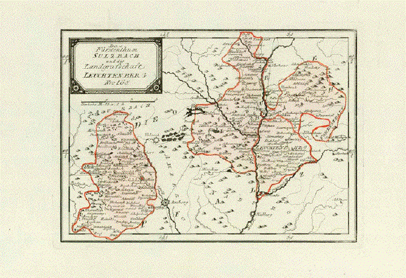
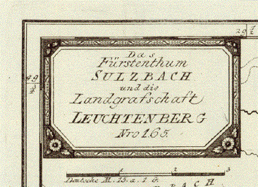
"Das Fürstenthum Sulzbach und die Landgrafschaft Leuchtenberg"

Altkolorierte Kupferradierung

Karte 165 aus dem Atlas: "Schauplatz der fünf Thiele der Welt".

Von Franz Johann Joseph von Reilly (1766-1820)

Wien, 1791

Sehr guter Erhaltungszustand

*****

Copper engraving with original hand-colored outline.
Map Nr. 165 from the Atlas "Schauplatz der fünf Thiele der Welt".

By Franz Johann Joseph von Reilly (1766-1820).

Published in Vienna 1791. Very good cndition.

Image: 20,7 x 29 cm (7.8 x 11.4")

$120.00

Order Nr. DEUTSCHLAND253319


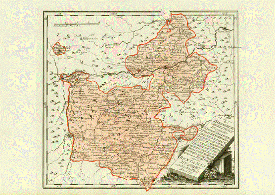
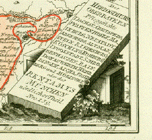
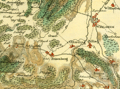
"Des Herzogtums Oberbayern Pflegegerichte Dachau, Crantsberg, Pfaffenhofen, Mainburg, Neustadt, Abensperg, Altmanstein, Riedenburg, Köchin, Kohburg, Ingolstadt, Schrobenhausen, Rain, Donauwerth, Wegbringen, Aicha, Friedberg, Mörigen oder des Rentamts München nördlichen Theiss"

Altkolorierte Kupferradierung

Karte 159 aus dem Atlas: "Schauplatz der fünf Thiele der Welt".

Von Franz Johann Joseph von Reilly (1766-1820)

Wien, 1791

Sehr guter Erhaltungszustand

*****

Copper engraving with original hand-colored outline.
Map Nr. 159 from the Atlas "Schauplatz der fünf Thiele der Welt".

By Franz Johann Joseph von Reilly (1766-1820).

Published in Vienna 1791. Very good cndition.

Image: 26,5 x 29,5 cm (10,4 x 11.6")

$120.00

Order Nr. DEUTSCHLAND253320


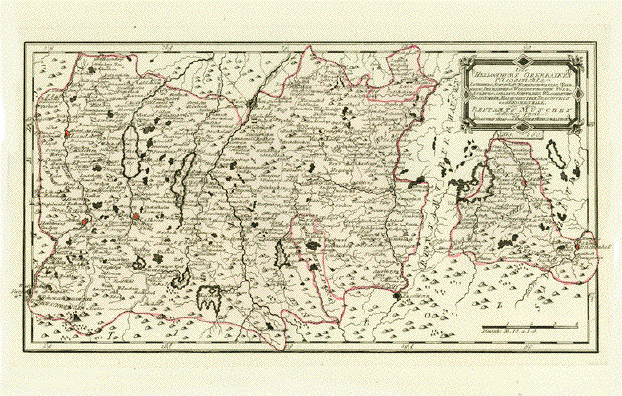
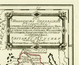
"Des Herzogtums Oberbayern Pflegegerichte Landsberg, Schongau, Hohenschwangau, Weilheim, Starnberg, Wolfertshausen, Tölz, Aurburg, Aibling, Schwaben, Wasserburg, Rosenheim, Marquartstein, Traunstein, und Reichenhall, oder des Rentamts München südlicher Theiß mit der Grafschaft Haag und Herrschaft Hohenwaldeck"

Zart altkolorierte Kupferradierung

Karte 160 aus dem Atlas: "Schauplatz der fünf Thiele der Welt".

Von Franz Johann Joseph von Reilly (1766-1820)

Wien, 1791

Sehr guter Erhaltungszustand

*****

Copper engraving with original hand-colored outline.
Map Nr. 160 from the Atlas "Schauplatz der fünf Thiele der Welt".

By Franz Johann Joseph von Reilly (1766-1820).

Published in Vienna 1791. Very good cndition.

Image: 21.7 x 40,2 cm (8.5 x 15.8")

$120,00

Order Nr. DEUTSCHLAND253321


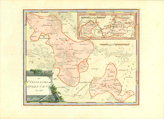
"Das Fuertsenthum Querfurt"

Altkolorierte Kupferradierung.

Mit kleiner Inset-Karte: Der Lauf und Zusammenfluss der Unstrut bei Ritteburg

Aus dem Atlas: "Schauplatz der fünf Thiele der Welt".

Von Franz Johann Joseph von Reilly (1766-1820)

Wien, 1791

Tadellos sauber, breite Margen. Attraktives Altkolorit

*****

Copper engraving with original hand-colored outline.
From the Atlas "Schauplatz der fünf Thiele der Welt".

By Franz Johann Joseph von Reilly (1766-1820).

Published in Vienna 1791. Very good cndition.

Image: 23,5 x 28,5 cm ( 9.8 x 11.2")

$120.00

Order Nr. DEUTSCHLAND253098


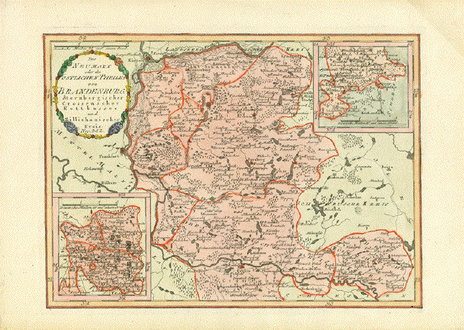
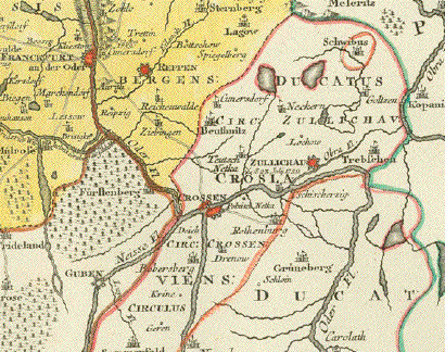
"Der Neumark oder des östlichen Thieles von Brandenburg Sternbergischer, Crossenschaer, Cottbusser und Zillichauischer Kreis"

Altkolorierte Kupferradierung.Mit zwei kleinen Nebenkarten: Re. oben: Unteres Obertal zum Crossischen Kreis gehörig. Li unten: Gegend um Kotaus - Petz - Neuhausen.

Aus dem Atlas: "Schauplatz der fünf Thiele der Welt". Karte 352

Von Franz Johann Joseph von Reilly (1766-1820)

Wien, 1791

Minimale Altersspuren an den Margenrändern.
Untere Marge knapp wegen des Buchformats und der Grösse der Karte.
Attraktives Altkolorit. Leichte Braeunung Margen.

*****

Copper engraving with original hand-colored outline.
From the Atlas "Schauplatz der fünf Thiele der Welt".

By Franz Johann Joseph von Reilly (1766-1820). Map 352

Published in Vienna 1791.Good condition.
Lower margin narrow. Light age toning in margins.

Image: 24.8 x 34.2 cm (9.7 x 13.4")

$120.00

Order Nr. DEUTSCHLAND253092


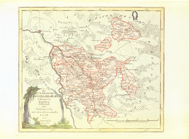
"Des KurKreises Südöstliche Aemter Schweinitz, Annaburg, Schlieben Baruth und Sonnewalde"

Altkolorierte Kupferradierung.

Aus dem Atlas: "Schauplatz der fünf Thiele der Welt". Karte 357

Von Franz Johann Joseph von Reilly (1766-1820)

Wien, 1791

Obere und untere Margen knapp wegen des Buchformats und der Grösse der Karte.
Attraktives Altkolorit. Leichte Braeuning in Margen.

*****

Copper engraving with original hand-colored outline.
From the Atlas "Schauplatz der fünf Thiele der Welt".

By Franz Johann Joseph von Reilly (1766-1820). Map 357

Published in Vienna 1791.Good condition.
Lower and upper margins narrow to fit book size.. Light age toning in margins.

Image: 26.7 x 33.3 cm (10.4 x 13")

$120.00

Order Nr. DEUTSCHLAND253093


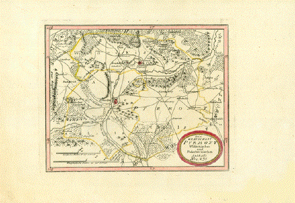
"Die Grafschaft Pyrmont Waldeckischen und Paderbornischen Antheils"

Bad Pyrmont und Lüde mit Umgebungen.

Altkolorierte Kupferradierung.

Aus dem Atlas: "Schauplatz der fünf Thiele der Welt". Karte 275

Von Franz Johann Joseph von Reilly (1766-1820)

Wien, 1791

Sauber. Äussere rechte untere Margenecke etwas beschmutzt vom Blättern.

*****

Copper engraving with original hand-colored outline.
From the Atlas "Schauplatz der fünf Thiele der Welt".

By Franz Johann Joseph von Reilly (1766-1820). Map 275

Published in Vienna 1791.Good condition.
Clean map image. Minor smudging in lower right corner from page turning.

Map image: 20,6 x 26 cm (8 x 10.2)

$120,00

Order Nr. DEUTSCHLAND253088


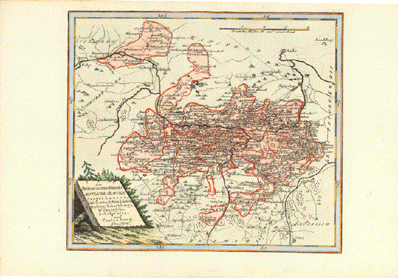
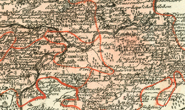
"Des Thüringischen Kreises östliche Aemter Sangerhausen, Sittichenbach, Wendelstein, Freyburg, Eckartsberga, Weissenfels, Schulpforta und Tautenburg"

Altkolorierte Kupferradierung.

Aus dem Atlas: "Schauplatz der fünf Thiele der Welt". Karte 364

Von Franz Johann Joseph von Reilly (1766-1820)

Wien, 1791

Tadellos sauber. Obere Marge schmal wegen des Buchformats und der Grösse der Karte. Attraktives Altkolorit

*****

Copper engraving with original hand-colored outline.
From the Atlas "Schauplatz der fünf Thiele der Welt".

By Franz Johann Joseph von Reilly (1766-1820). Map 364

Published in Vienna 1791.Good condition.
Clean map image. Upper and lower margins are narrow due to book format.
Attractive original coloring.

Map image: 25 x 29 cm (9.8 x 11.4")

$120,00

Order Nr. DEUTSCHLAND253089


*******

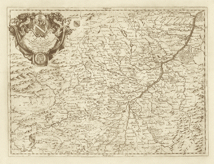
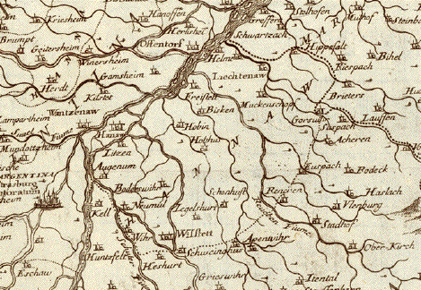
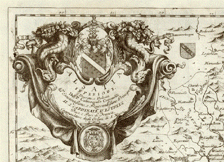
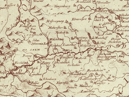
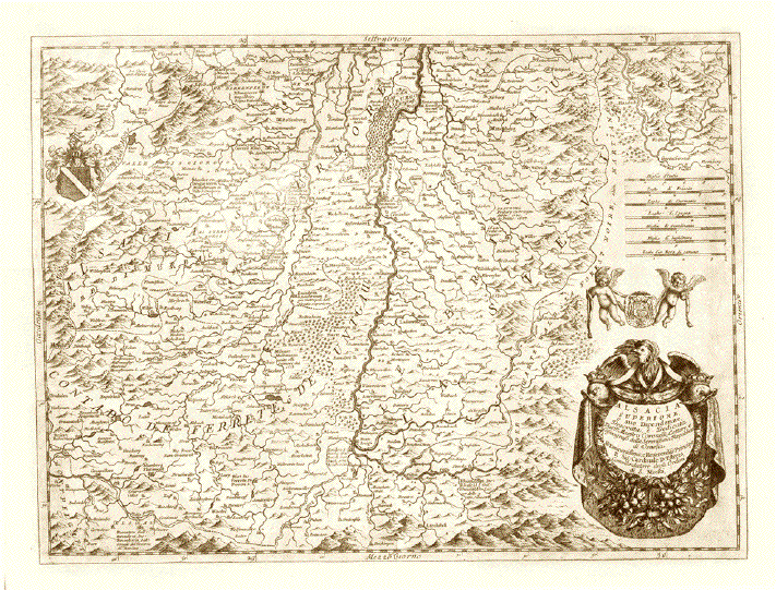
"Alsacia Superiore e sue DipendenzeÉ" und "Alsatia InferioreÉ"

2 grossarige detaillierte Kupferstich-Landkarten vom Elsass, geographisch und kartographisch
in den nördlichen und in den südlichen Teil gegliedert.

Kupferstecher: Vincenzo Maria Coronelli (1650-1718)

Der venezianische Franziskaner-Mönch war einer jener universal gebildeten Kartographen,,
die sich verdient gemacht haben um die kartographische Darstellung unserer Erde.

Die beiden Karten vom Elsass erschienen in Coronellis monumentalem Werk "Atlante Veneto"

mit 13 Bänden und 1200 Karten.

Venedig, 1691-1701

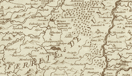
Der südliche Teil des Elsass und des Breisgaus

Der Rhein macht seinen Schlenker vom Bodensee kommend an Rheinfelsen vorbei nach Basel, wo er scharf nach Norden biegt. Er durchströmt die Karte dann nahezu mittig bis Kappel-Grafenhausen. Das sind nur wenige Kilometer, nicht einmal 100! Das zeigt uns wie detailliert diese grosse Karte auf beiden Seiten des Rheins ist. Ganz im Süden zeigt sie noch ein kleines Stück der Schweiz um Basel herum. Rechts, also östlich des Rheins, liegt der südliche Breisgau mit dem Hochschwarzwald, und links der südliche Teil des namengebenden Elsass. Im Westen reicht die Karte bis zu den Vogesen, auf deutscher Seite bis nach Todtnau, St. Peter, Haslach im Kinzigtal und bis Schiltach.

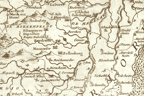
Der nördliche Teil des Elsass und des Breisgaus

Der auf dieser Karte südlichste Rheinabschnitt ist auf der französischen (elsässischen) Seite der Ort Rhinau, auf der deutschen Weites des Rheins tritt der Fluss im Gemeindebereich von Kappel-Grafenhausen in die Karte ein. Er fliesst, links (westlich) sehr detailliert der Unter-Elsass, und rechts (östlich) sehr detailliert das nördliche Baden, mit Offenburg, Baden-Baden, Durlach (ganz in der Nähe Karlsruhe, das es damals nicht mit diesem Namen gab) bis hinauf nach Germersheim.

Kartographiert ist hier auch der südliche Zipfel von Rheinland-Pfalz entlang der französischen Grenze bis Bad Bergzabern und noch etwas darüber hinaus. Auf der französischen Seite des Rheins reicht die Karte westlich bis zur Quelle und zum Lauf der Saar, deren weiterer Lauf dann von der barocken Kartusche verdeckt wird. Die elsässische Hauptstadt Strasbourg ist mitten in der Karte..

Zwei sehr saubere Karten, die wir hier als Paar anbieten, weil sie als solches das ganze Elsass zeigen. Sollte eine Kundschaft nur die eine oder andere Karte zu kaufen wünschen, bitten wir um Kontaktaufnahme mit uns.

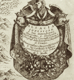
Die Margen sind bei beiden Karten rundherum expertenmässig angefasert. Sehr ordentlicher Abdruck. Die Mittelfalze kaum erkennbar. Die beiden Barockkartuschen majestätisch mit Wappen und Widmungen

Die Abmessungen:

Südelsass: 45 x 61,3 cm (ca. 17.7 x 24.1")

Nordelsass: 45,5 x 61,8 cm (ca, 19.9 x 24.3")

Price for the pair (2maps): $580.00

Order Nr. FRANCE251816


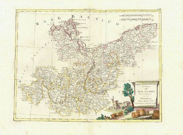
"Parte Settentrionale del Circolo dee' Alta Sassonia"

Type of print: Copper etching

Color: Original outline hand coloring. Cartouche is originally hand-colored

Author: Antonio Zatta

Published: Venice, dated 1780

Condition: Very good. Clean. Wide margins

30,7 x 40 cm (ca. 12 x 15.7")

$ 90.00

Order Nr.DEUTSCHLAND239915


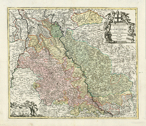
"Archiepicopatus et Electoatus Coloniensis ut et Ducatuum Iuliacensis et Montensis nec non Comitatus Meursiae Nova Tabula"

Originally hand-colored copper etching. Published by Johann Baptist Homann. Nuremberg, 1723

Coat of armas baroque title cartouche and mileage cartouche. A pleasanrt map of the "Rhineland"

Some minor traces of age and use in margins. Otherwise very good condition.

48 x 57 cm18.9 x 22.4")

$ 280.00

Order Nr.DEUTSCHLAND235781


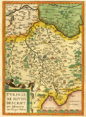
"Tvringiae Noviss Descript". Copper etching by Iohannem Mellinger Halens for "Theatrum Orbis Terrarum" by Abraham Ortelius, ca 1580. Hand coloring.

This map is east- oriented (east is at the top). It shows the area from Salzungen on the Werra River (lower right) to Meresburg on the Saale River (top of map). In the center of the map is Erfurt. Verso: Text in Latin.

Wide margins except for right side. Scattered light spotting in margins. Reinforcement on lower right margin corner. Light brown streak in lower right part of image. Light stain on left margin - noticeable on text on backside. General condition is Much Better than Good for a map this age.

29 x 21 cm ( 11.4 x 8.2 ")

$ 420.00

Order Nr. DEUTSCHLAND 1301


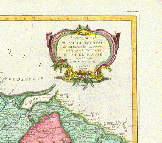
"Carte de la Prusse Occidentale ou sont tracees les provinces cedees par la Pologne au Roi de Prusse" (Map of West Prussia showing the provinces which Poland had to cede to the King of Prussia in the year 1772)

Copper etching by Homann 1775. This map published by P. Santini in Venice, 1776. RARE!

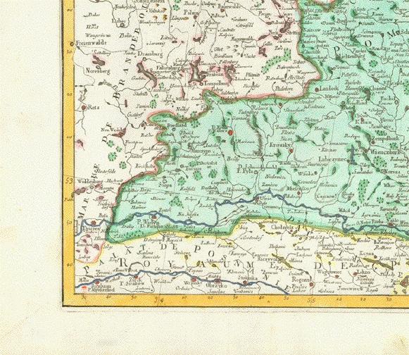
The parts colored are those ceeded by Poland. In the lower left is the WartCanisco and Pobiancea River and the town of Birnbaum. In the lower center is Wielowice and Labiszin. The map extends as far east as Rossel, Plenow and Rabawen.

Clean. Light browning on vertical centerfold. Very good condition.

44.7 x 64.5 cm (17.6 x 25.4")

$ 740.00

Order Nr. POLANDMAP14273


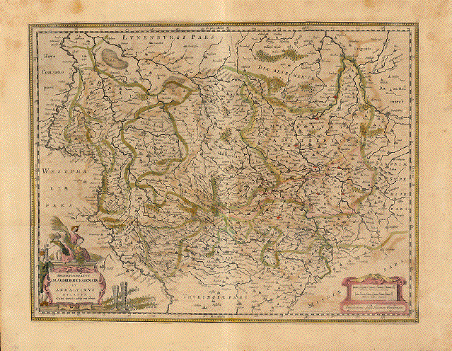
ãArchiepiscopatus Magdeburgensis et Anhaltinus Ducatus Cum terris adjacentibus"

Copper engraving by E.S. Hammersveldt and Rogeri for Johann Janssonius in Amsterdam, um 1660

On the reverse side is historical text about Magdeburg ( in Latin).

Original outline coloring. Strong paper. Vertical centerfold.

Signs of age and use.

38.2 x 49.4 cm ( 15 x 19.4 ")

$ 120.00

Order Nr.DEUTSCHLAND237743


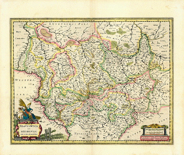
"Braunswyck et Meydburg cum terris adjaccentibus"

Copper engraving by E.S. Hammersveldt and Rogeri for Johann Janssonius in Amsterdam, um 1660

On the reverse side is historical text about Braunschweig( in French ).

Original outline coloring. Strong paper. Vertical centerfold.

Light spotting in margins. Otherwise good condition.

38.2 x 49.4 cm ( 15 x 19.4 ")

Order Nr.DEUTSCHLAND237744SOLD


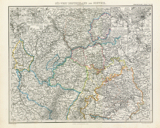
"Sued-West Deutschland und Schweiz"

Steel engraving by H. Eberhardt and Wilh. Weiler after C. Vogel for Stieler. Dated 1871. Original hand outline coloring.

In the upper left are detailed insets of Landau, Saarlouis and Germersheim. In the upper right are detailed insets of Mainz, Ulm and Rastatt, In the center of the map are Darmstadt and Mannheim. In the lower left are Dommartin and Vichery in France. In the lower left is a smal part of the Danube and the towns of Zusmarshausen, Jettingen, Ulm and Walstetten. On the upper edge are Siegen, Freudenberg and Wildenburg.

Map is clean and in good condition except for a small repair on the centerfold in the lower margin.

33 x 40.5 cm ( 12.9 x 15.9 ")

$ 50.00

Order Nr. DEUTSCHLAND237422


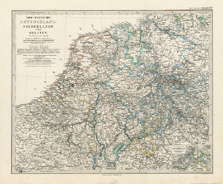
"Nord-Westliches Deutschland, Niederlande un Belgien."

Steel engraving by W. Alt, Berge v. E. Kratz after C. Vogel for Stieler, dated 1871. Original hand outline coloring.

In the upper right is a detailed inset of Luebeck and surrounding area. In the lower right corner is an inset show Franfurt and surrounding area. The coast on the left extends as far south as Calais and Duenkirchen. In the lower left is Paris. The map extends as far east as Halle, Naunburg and Schleiz.

Map is in good condition except for a small repair in the lower margin on the centerfold.

32.3 x 39.5 cm ( 12.7 x 15.5 ")

Order Nr. DEUTSCHLAND237423 SOLD


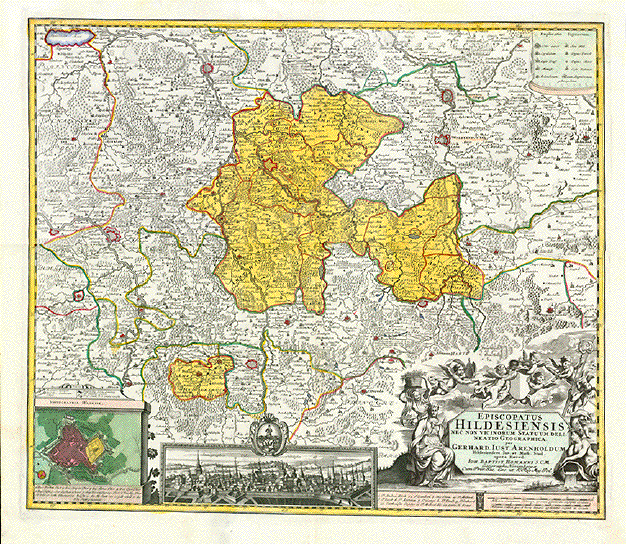
"Episcopatus Hildesiensis nec non vicinorum Statuum Delineatio Geographica per Gerhard Iust. Arenholdum Hildesiensem Iur. et Math. Stud. opera Haered. Ioh. Baptist Homanni S.C.M. Geographi Norimbergae..."

Copper etching in original hand coloring.

Published by Johann Baptist Homann. Nuremberg, 1727

At bottom general view of Hildesheim. Lower left corner: Plan (aerial view) of Hildesheim. Very nice boroque title cartouche

Condition is very good. One tear in lower margin repaired. A very desireable collector's map.

48 x 56,2 cm (ca. 19 x 22")

Order Nr.DEUTSCHLAND237398 SOLD


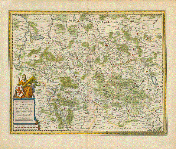
"Ducatus Brunsvicensis fereque Lunaeburgensis Cum adiacentibus Episcopatibus, Comitatibus et Dominatibus e4tc. nova et locupletissima Descriptio Geographica. Correcta, innovata, edita. Per Nicolaum Visscher..."

Duchy of Braunschweig and Lueneburg.

Hand-colored copper etching by Nicolaus Visscher (1618-1679)

Amsterdam, ca. 1670

Nice baroque cartouche with the Brunswig lion (coat of arms stemming from Welf Heinrich der Loewe, founder of the city of Braunschweig side by side with a goddess of fertility. Decorative bordure runs around map.

Light general age toning.. Repairs along centerfold. Some repaired tears in margins. In general: Good condition.

41,7 x 52,7 cm (ca. 15.5 x 20")

$ 280.00

Order Nr.DEUTSCHLAND237399


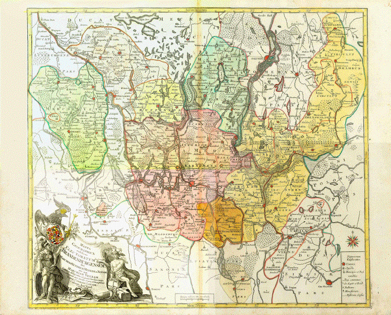
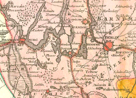
"Mappa Geographica exhibens lectoratum Brandenburgensem sive Marchiam Veterem Mediam et Novam nec non Marchiam Ukeram summa diligentia et juxta hodiernam Delineationem aeri incisa Cura et Sumptibus Tobiae Conradi Lotter Calcogr. Aug. Vind. 1758"

Copper etching. Original hand coloring.

Published in "Theatrum Belli Sive Novissima Tabula Qua Maxima Pars Danubii et Praesertim Hungaria Cum Aliis Adiacentibus Regnis, Nec Non Graecia, Morea, El Archpelagi Insulae Accurate"

Atlas minor praecipua orbis terrarum imperia, Regna et Provincias, Germaniae Potissimum, tabellis 50 exacte declineatis sistens usui militiae ducum ac peregrinantium maxime accomodatus opera Matthaei Seutteri

By Matthäus Seutter (1678-1757)

Augsburg, dated 1758

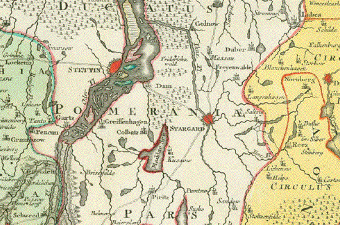
Map has Berlin and detailed surrounding in its center. It reaches north to Stargard and Stettin (Szczecin), east to Dresen (Drezdenko), south: Glogau (Glogow), Cotbus, Wittenberg, west: Magdeburg, river Elbe to Domitz

Very nice original hand coloring. Centerfold a bit age-browned. Centerfold at bottom restored.

50,1 x 57,8 cm (ca. 19.7 x 22.8")

$ 780.00

Order Nr. DEUTSCHLAND252349


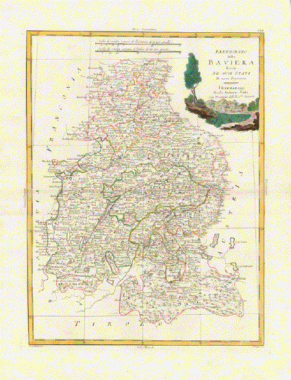
Bavaria

"Elettorato della Baviera divisa ne suoi Stati"

Map shows Niederbayern, parts of Oberbayern and Salzburger Land, that once belonged to Bavaria.

Type of print: Copper etching

Color: Original outline hand coloring. Cartouche is originally hand-colored

Author: Antonio Zatta

Published: Venice, dated 1780

Condition: Very good. Clean. Wide margins

40 x 30,7 cm (ca. 15.7 x 12")

$ 140.00

Order Nr. DEUTSCHLAND239237


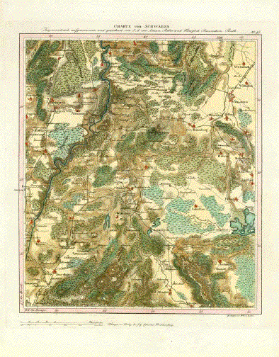
"Charte von Schwaben"

Handkolorierte Kupferstichkarte (hand colored cooper engraving) von J. Carl Ausfeld

Nach der Zeichnung von J.A. von Amman

Herausgegeben von der Cottaschen Buchhandlung

Tübingen, um 1810

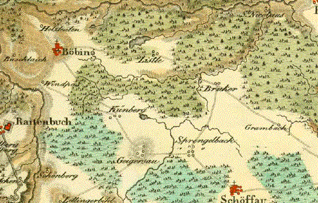
Detaillierte Gebietskarte. Im Zentrum Böbing and Rottenbuch. Im Norden begrenzt durch:

Apfeldorf - Roth - Wielenbach. Im Osten: Weilheim - Huglfing - Staffelsee. Im Süden: Oberammergau - Trauchgau. Im Westen: Prien - Schwabsoyen - der Lech von Lechbruck bis Apfeldorf.

Leichte gleichmässige Altersbräunung. In den Margen etwas knittrig. Insgesamt sehr guter Erhaltungszustand.
Light natural age toning overall. Light creases in magins. Overall good condition.

Karte (Map Image): 41,5 x 36 cm

Blattgrösse (Page Size): 54 x 43 cm

$350.00

Order Nr. DEUTSCHLAND253639


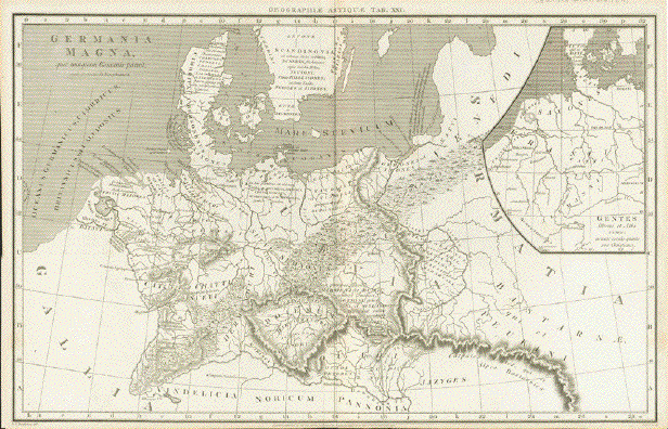
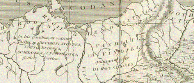
"Germania Magna qua nunquam Romanis paruit"

Copper etching by Cooper after the drawing by W.W. Macpherson

Published in London, dated 1806

Map showing the area of "Germania" which never succumbed to the Roman Empire

With a side map (upper right) of tribes in the 6th century between the rivers Rhine and Elbe

Map naming and positioning various peoples and tribes in Germany

Map shows some traces of age and use, but would still be considered in good condition.
Vertical centerfold.

25,2 x 40 cm (ca. 9.9 x 15.7")

$ 120.00

Order Nr. GERMANY/MAP253341


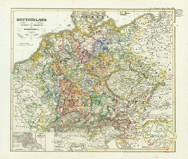
ãDeutschland von Rudolf von Habsburg bis Maximilian I. 1275 bis 1493". ( Germany from Rudolf von Habsburg bis Maximilian I. 1275 bis 1493. )

Steel etching by E. Luther. Original hand coloring. 1846.

Insets: Battle of Stillfried 1278. Battle of Muehldorf 1322. Germany about 1350.

Some minor spotting in margins.

Page size: 37 x 43.8 cm (14.6 x 17.2").

$ 120.00

D1413


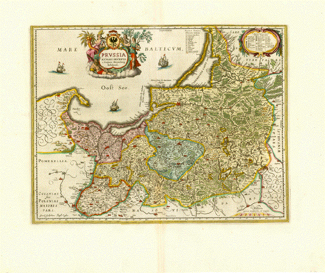
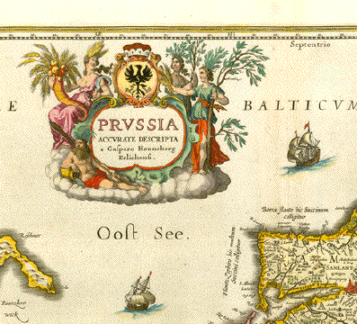
"Prussia Accurate Descripta a Gasparo Henneberg Erlichensi"

Fine copper engraving map by Jan Janson ( Jansonius 1588-1664 ). Map shows part of Poland,
Latvia, Estonia, Lithuania and bording parts of Germany.

Attractive hand coloring. On the reverse side is text in Latin about the area shown on map.

Published in Amsterdam 1640.

The map is in very good condition. Wide margins. Centerfold has been reinforced.
Very minor spotting in margins.

Map image: 38.5 x 50.5 cm ( 15.1 x 19.8 ")
Sheet size: 56 x 67 cm ( 22 x 26.3"

$ 870.00

Order Nr. DEUTSCHLAND249762


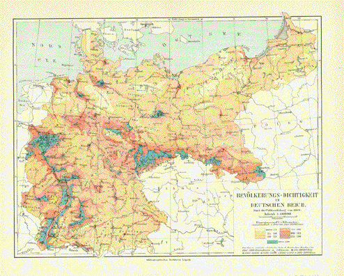
"Bevoelkerungs-Dichtigkeit im Deutchen Reich"

Map shows the population density in 1900.Vertical centerfold to fit atlas size.

21 x 26.5 cm ( 8.2 x 10.4 ")

$ 35.00

Order Nr. DEUTSCHLAND251046


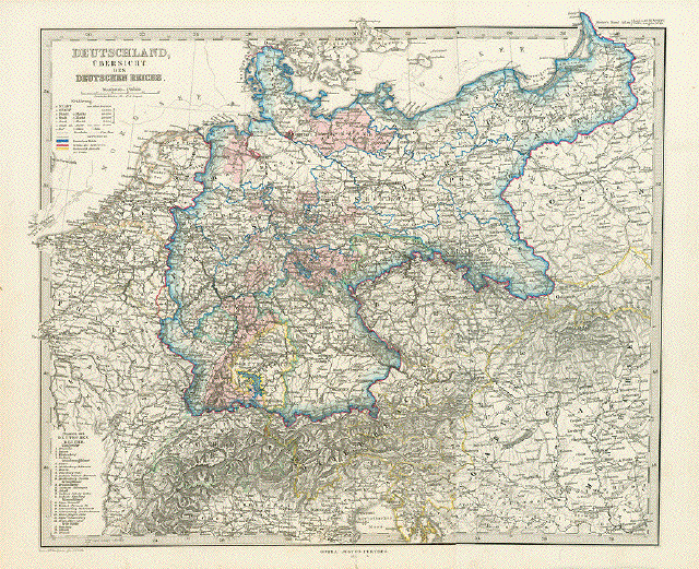
"Deutschland Uebersicht des Deutschen Reichs"

Steel engraving map by V. G. Hirth after H. Berghaus. Published in Stieler's Hand Atlas 1871.

Repair on lower part of vertical centerfold. Very minor signs of age in margins.

34 x 41 cm ( 13.3 x 16.1 ")

$ 110.00

Order Nr. DEUTSCHLAND250622


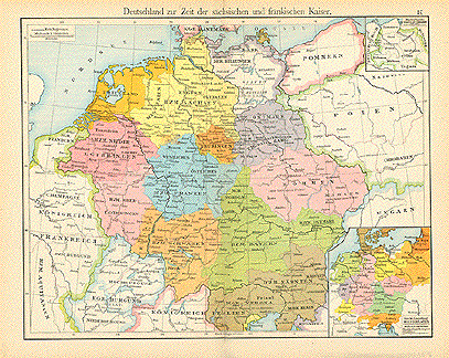
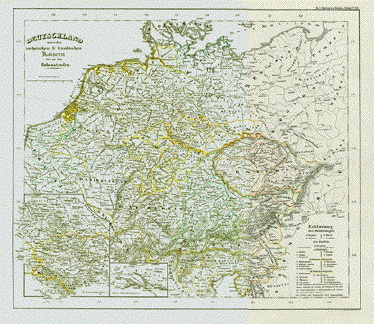
"Deutschland zur Zeit der saechsischen und fraenkischen Kaiser"

Map published 1897. In the upper right corner is an inset of the Boleslaw Chorry ( 982-1025 ).
The inset in the lower right shows church divisions from the 11th to 16th Centuries.

Vertical centerfold. Small repair on lower centerfold.

22 x 28.5 cm ( 8.6 x 11.2 ")

$ 40.00

Order Nr. DEUTSCHLAND248155


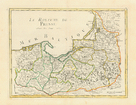
ãLe Royaume de Prusse"

Copper etching by Ezienne Louis Crepy. Paris, dated 1767

Original outline hand coloring

RARE!

Very good condition. Vertical centerfold.

20,5 x 27,5 cm (Ca. 8 x 10.8")

$ 190.00

Order Nr. POLAND237961


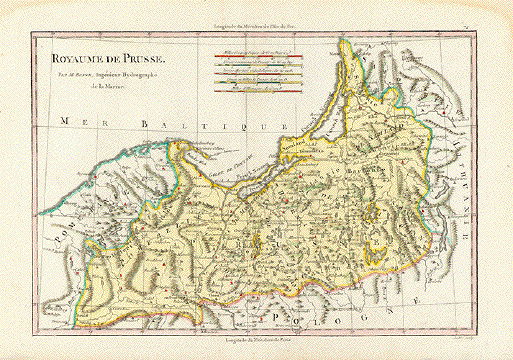
"Royaume de Prusse".

Copper etching André for the atlas by Rigobert Bonne (1729-1795) ca 1775.

The Prussian Empire is shown on this map reaching from Pomerania in the west to Lithuania in the east. In the south is part of Poland to be seen. The coast reaches as far as Memel in the northeast.

Map has wide margins and overall light toning. In the upper corners are water stains, which do not affect the map image. Map has center fold to fit atlas. There ia a diagonal fold from the lower margin to the upper left corner going through the lower left corner of the image. General condition is Better than Good.

23.3 x 34.5 cm ( 9.1 x 13.6 ")

$ 165.00

Order Nr.POLAND237968


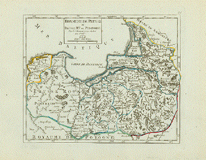
"Royaume De Prusse et Prusse Rle. ou Polonoise".

Copper engraving by Robert de Vaugondy ca 1750. Outline coloring.

On the left is Pomerania and the Desert of Waldow. At the top of the map is Memel and Samland. On the right side is the Biss River and Kautten. In the center of the map is Marienburg and Riesenburg.

Map has wide margins and is in good condition.

16.2 x 19.5 cm ( 6.3 x 7.6 ")

$ 185.00

Order Nr.POLAND237967


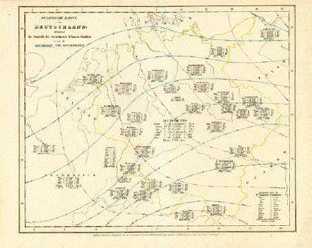
"Botanische Karte von Deutschland enthaltend sie Statistik der vornehmsten Pflanzen-Familien so wie die Isotheren und Isochimenen"

Botanical map of Germany including isotheres and Isochemical metamorphism

Steel engraving by Kleinknecht. Published by Bibliographical Institute. Hildburghausen, Germany. Ca. 1850

Light general age toning. One little hole in centerfold. Minor traces of age and use.

20,3 x 24,5 cm (ca. 8 x 9.6")

$ 40.00

Order Nr. DEUTSCHLAND240547


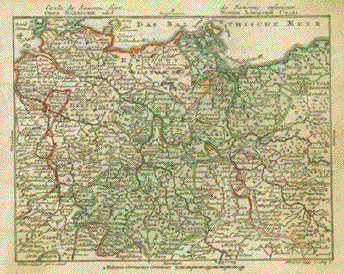
"Ober Saxische und Nider Saxische Crais." Copper etching by Tobias Conrad Lotter ( (1717-1777) after Tobias Lobeck for the "Atlas Geographicus portabilis" (Pocket-size atlas) published 1760-1762. Original hand coloring.

Magdeburg is in the center of this map. In the lower right is the Oder River and the towns of Ziegenhals and Zuckmantel in Silesia. In the lower left is Gelnhausen and Wetzlar.

Map has light browning in lower left corner of image aand on the right side.

$ 120.00

Order Nr. DEUTSCHLAND 1336


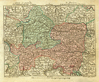
"Österreichische Crais, Chrf. u. Herzogt. Bayern ". Copper etching by Tobias Conrad Lotter ( (1717-1777) after Tobias Lobeck for the "Atlas Geographicus portabilis" (Pocket-size atlas) published 1760-1762. Original hand coloring.

Salzburg is almost excactly in the center of this map reaching as far south as Padua and Bescia. In the north is Bamberg and Prague.

In the upper left is Wertheim and Rotenberg. Lake Como is in the lower left and Croatia in the lower right. In the upper right corner is Schoenberg und Olmutz.

A few light creases in map image. Browning in right margin.

9.5 x 12.2 cm ( 3.7 x 4.8 ")

$ 120.00

Order Nr. DEUTSCHLAND 1334


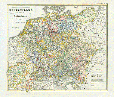
ãDeutschland unter den Hohenstaufen und bis 1273". ( Germany under the Hohenstaufen and to 1273.)

Anonymous steel etching. 1846. Original borderline coloring.

Historical map showing the extension of Germany under the Hohenstaufen. Side maps: The grand lineages at ca. 1170. The original area of the Hohenstaufen.

Clean. A few light spots in margins.

Page size: 37 x 43.8 cm (14.6 x 17.2")

$ 120.00

Order Nr. D1419


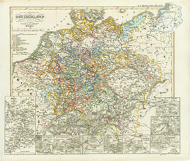
ãDeutschland zur Zeit des 30jährigen Krieges und Angaben der Gebietsveränderungen während demselben und durch den westfälischen Frieden". ( Germany during the 30 year war, with indications of changing possessions during the war and showing the result of the Westphalian Peace.)

Steel etching by Carl Poppey. Original hand borderline coloring.

Side maps: Rhine from Strasbourg to Coblenz. Battles of Wimpfen 1622; Breitenfeld 1631; Luetzen 1632; Noerdlingen 1634; Wittstock 1636; Leipzig 1642; Jankow 1645; Military raid on Tuttlingen 1643.

A little foxing in margiuns. Very minor traces of age and use.

Page size: 37 x 43.8 cm (14.6 x 17.2")

$ 120.00

Order Nr. D1418


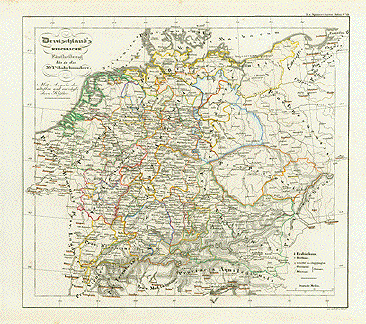
ãDeutschland's Kirchliche Eintheilung bis in das XVIte Jahrhundert mit Angabe der aeltesten und vorzueglichern Kloester". (Germany's religious division into the 16th century indicating its oldest and most dignified monasteries.)

Steel etching by W. Alt. Original borderline coloring.1846.

A little foxing in margiuns. Minor traces of age and use.

Page size: 37 x 43.8 cm (14.6 x 17.2")

$ 120.00

Order Nr. D1417


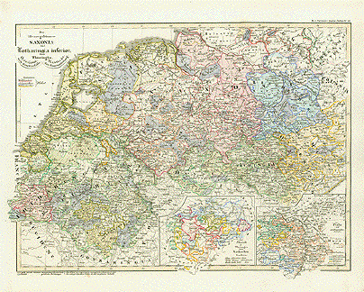
ãDie Herzogthuemer Saxonia und Lothringia inferior dann Thuringia, Osterland nach dem Verfalle, Hassia & und der Gaueintheilun". ( Duchies of Saxony, Lower Lorraine, Thuringia..).

Steel etching by W. Alt. Original borderline coloring. 1846. Side maps: Partitians in the Saxonian lands.Palatinat and surrounding lands.

A little foxing in margiuns, otherwise clean.

Page size: 37 x 43.8 cm (14.6 x 17.2").

$ 120.00

Order Nr. D1416


Deutschland unter den saechsischen und fraenkischen Kaisern bis zu den Hohenstaufen". (Germany under the Saxon and Franconian cesars up to the Hohenstaufen.)

Steel etching by C. Ehricht. SWlight original borderline coloring. 1846.

Clean.

Page size: 37 x 43.8 cm (14.6 x 17.2").

$ 120.00

Order Nr. D1415


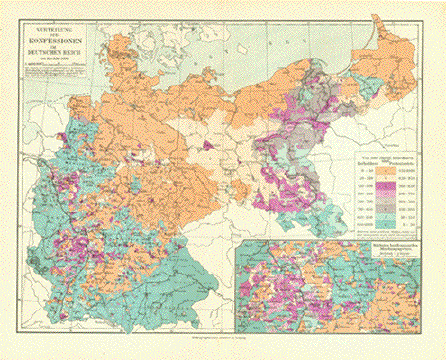
"Verteilung der Konfessionen im Deutschen Reich um das Jahre 1890."

Detailed map showing the distribution of the Catholics and Protestants in Germany in 1890.

This map was published 1906. Vertical centerfold.

21 x 26.5 cm ( 8.2 x 10.3 ")

$ 45.00

Order Nr. DEUTSCHLAND250739


"Novam hanc Territorii Francofurtensis Tabulam....." Copper etching by Johann (1596-1673) and Corneille (died 1648) Blaeu, published ca 1640. Original hand coloring.

This very decorative map shows Frankfurt and the surrounding area. It is "framed" by a colorful garland of coats-of-arms that is held together by a cord held by the personifications of "Counsel" and "Concordia". In the upper right is "Pax" holding a coat-of-arms and "Justitia" holds another in the upper left corner. The title cartouche is at the bottom in the center. Verso: Text in Latin.

Print has age toning and a small spot on both the right and left margins. There is a restored (hardly noticeable) hole in the center coat-of-arms above the title cartouche at the bottom of the map. Except for this repair, the condition is Almost Very Good.

45.5 x 54.8 cm ( 17.9 x 21.6 ")

$ 2200.00

Order Nr. HESSE3521


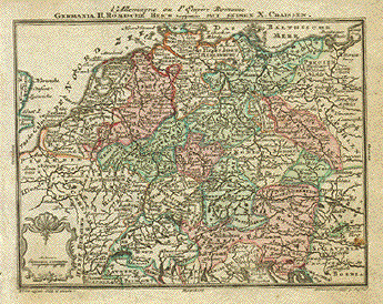
"Germania H. Roemische Reich mit Seinen X. Craissen." Copper etching by Tobias Conrad Lotter ( (1717-1777) after Tobias Lobeck for the "Atlas Geographicus portabilis" (Pocket-size atlas) published 1760-1762. Original hand coloring.

Fulda is in the center of this historical map of Germany. In the upper right corner is Koenigsberg and in the lower right is Bosnia. In the lower left is Lyon and Vienne.

Map has light browning in lower left and on the right side.

9.2 x 12.2 cm ( 3.6 x 4.8 ")

$ 140.00

Order Nr. DEUTSCHLAND 1333


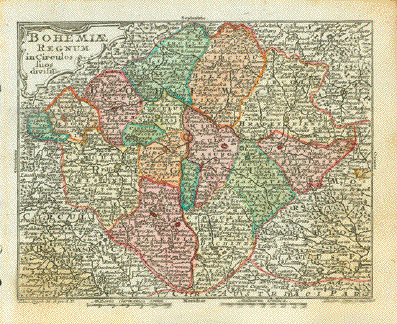
"Bohemeae Regnum in Circulos suos divisii". Copper etching by Tobias Conrad Lotter ( (1717-1777) after Tobias Lobeck for the "Atlas Geographicus portabilis" (Pocket-size atlas) published 1760-1762. Original hand coloring.

Prag is in the center of this Bohemian map. In the lower left is part of the course of the Danube River with Donaustauf and Straubing. In the lower right is the Taya River with Gars am Kemp and Drosendorf in Austria. In the upper right is Kupferberg and Schweidnitz. On the upper left margin is Egra.

Browning in lower corners of map image. Spot on right side of map.

9.5 x 12.2 cm ( 3.7 x 4.8 ")

$ 180.00

Order Nr. CZECHMAP1340


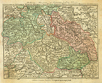
"Koenigreich Boehmen, Margr: Maehren, Chur-Fuerst. Saxen, Marg: Kausnitz, Herzog: Schlesien." Copper etching by Tobias Conrad Lotter ( (1717-1777) after Tobias Lobeck for the "Atlas Geographicus portabilis" (Pocket-size atlas) published 1760-1762. Original hand coloring.

Meissen is almost in the center of this map which has the Danube flowing along the lower part. In the lower right is Vienna and Pressburg. In the lower left, just outside the map image is Munich. In the upper left is Braunschweig and Wolfenbuettel. In the upper right is the Warte River and part of Silesia.

Map image has light browning in lower left and upper right corners. Some light spotting in margins.

9.5 x 12.5 cm ( 3.7 x 4.9 ")

$140.00

Order Nr. DEUTSCHLAND 1339


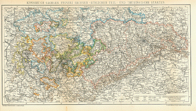
"Koenigreich Sachsen, Provinz Sachsen ( Suedlicher Teil ) und Thueringische Staaten"

Wood engraving printed in color, 1895. Vertical folds to fit original book size.

21 x 40 cm ( 8.2 x 15.7 ")

Order Nr. DEUTSCHLAND245910SOLD


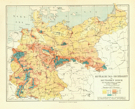
"Bevoelkerungs-Dichtigkeit im Deutschen Reich nach der Volkszählung von 1900"

Map shows the population density in 1900. This map was published 1906.

Vertical centerfold.

21 x 26.5 cm ( 8.2 x 10.2 ")

$ 40.00

Order Nr. DEUTSCHLAND250738


More Maps of Germany (Page 5) - Mehr Landkarten von Deutschland (Seite 5)

Page 5 - Seite 5

Page 6 - Seite 6

Page 7 - Seite 7

Page 8 - Seite 8

Page 1 - Seite 1

Page 2 - Seite 2

Page 3 - Seite 3

Maps of the World

Ansichten von Deutschland-Views of Germany

BOOKS

BOTANICAL PRINTS

BIRDS

Ordering and payment.

E-Mail

Terms of Sale - Lieferbedingungen

Home Page

Impressum

Datenschutz

© Rainer Rauhut